Welcome to the Isles of Lewis and Harris in the Outer Hebrides of Scotland. Yes, they look like just one island but the landscape here is insanely varied from North to South, East to West and yes, even just around the corner. We opted for three days in this magical land and ended up looking for real estate options by the end. It’s absolutely amazing, secluded and just another world. You don’t want to miss it! This is a long journey post with tons of photos, so grab a cup of tea and then meet me back here for your tour.
Ferry from Uig, Skye
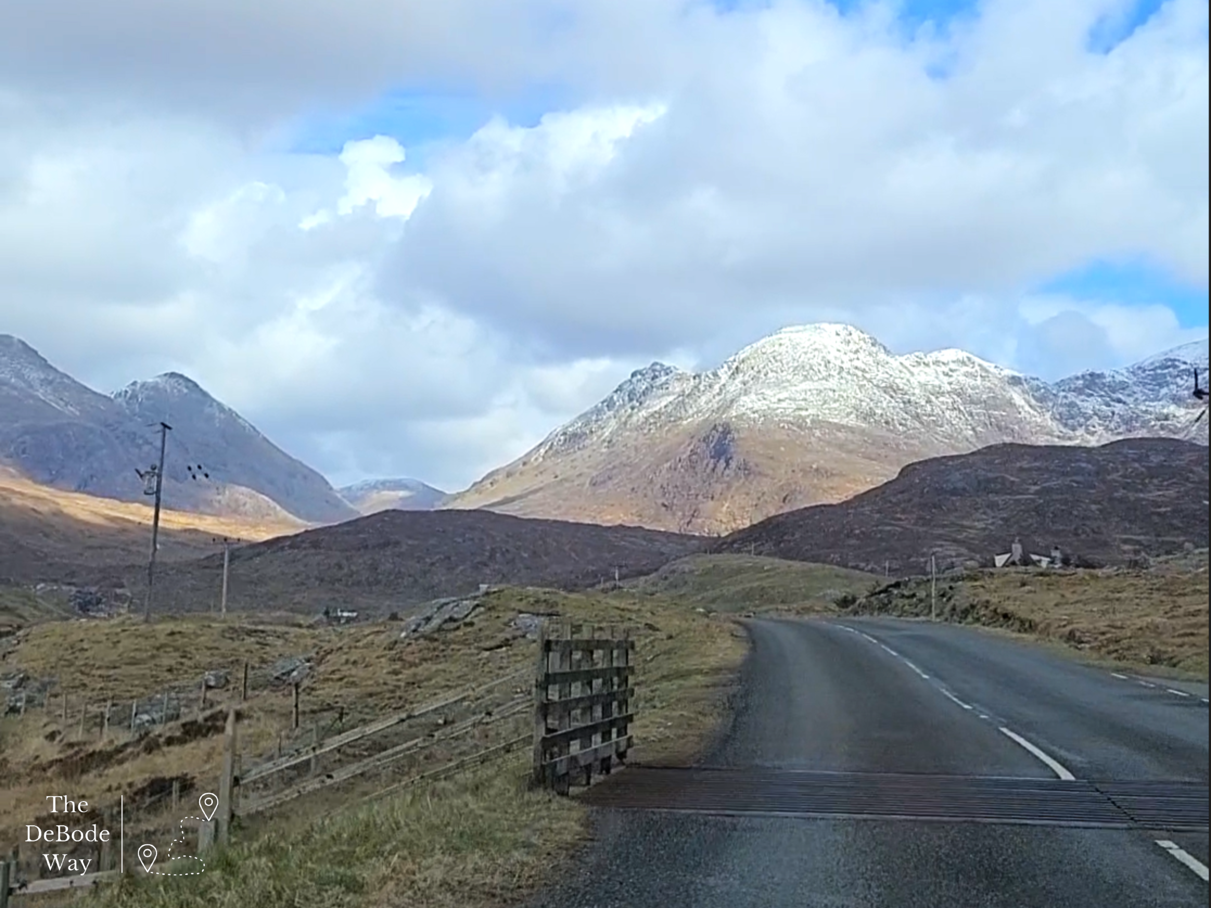
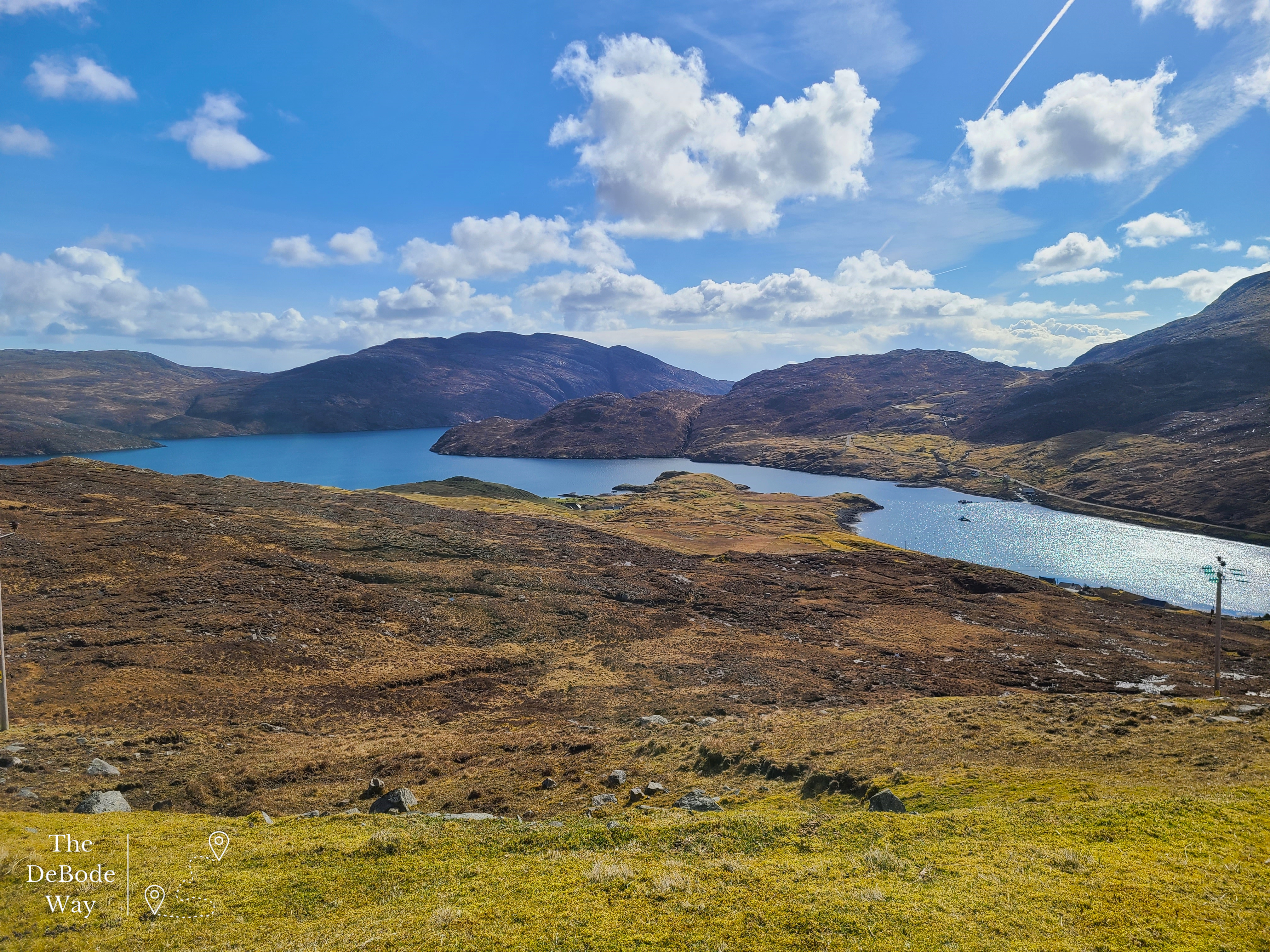
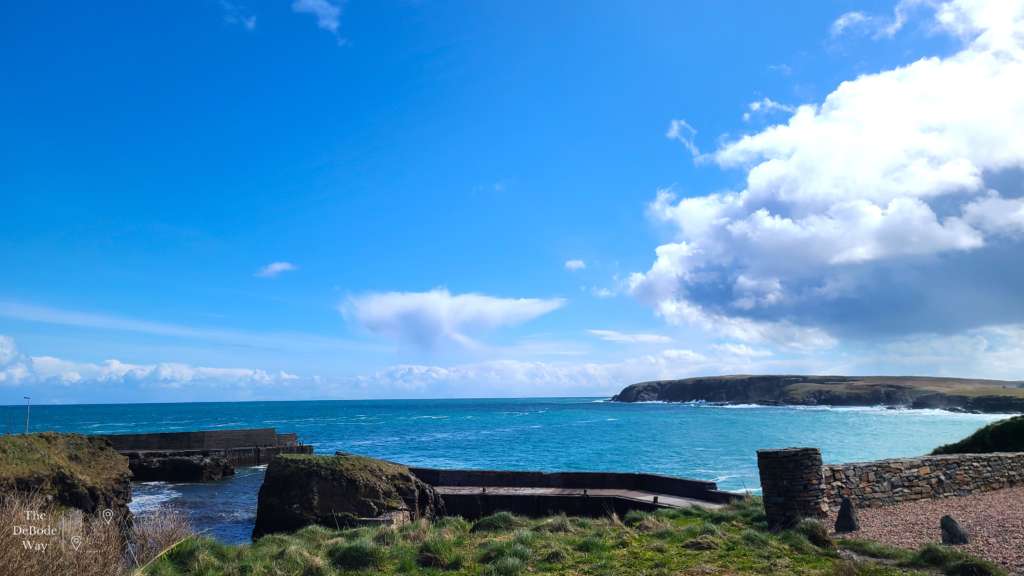
We arrived in Tarbert via the ferry from Uig on the Isle of Skye just before noon. Our car was located on one of the raised decks of the ferry, so we had to wait until the very end of the unloading process for them to lower the lifted deck once the cars under it were gone, to get in and drive away. Once off the ferry and blinking into the sun, you’re immediately met with huge, rocky mountains and a sweeping sea coast of cliffs diving into brilliantly blue water. Spectacular. We hit the road and headed towards Stornoway – the only large town on the island. Obviously, we had to stop for some photos along the way. Every bend of the road yielded a drastically different landscape. The sweeping mountains soon gave way to a brown, rocky moor as we neared Stornoway.
Stornoway
We didn’t stay long in Stornoway. We found a station to put diesel in the car (our mileage is amazing despite the high prices – 55-60 mpg!), drove down to the port and past the Harris Tweed museum, which was closed. Bummer. Stornoway is great place to get any snacks you may need, water, pop into a few shops, find some Harris Tweed, and get cash for tips at the only bank on the island. Once properly provisioned we headed Northwest across the island, which continued as a brown, rocky moor to Barvas where we took a right on the A857 towards the Port of Ness at the northernmost tip of the island. I’d like to say this is the northernmost tip of Scotland, but it’s not, not by a long shot (Shetland Islands here we come), but it is nearly the tip of the Outer Hebrides. The Butt of Lewis Lighthouse is at the tippy top but we didn’t venture to it. I snapped some photos quick and we headed back south. We had a mission to complete as this was the only day (Saturday) our stops were going to be open while we were on the island.
Norse Mill & Kiln
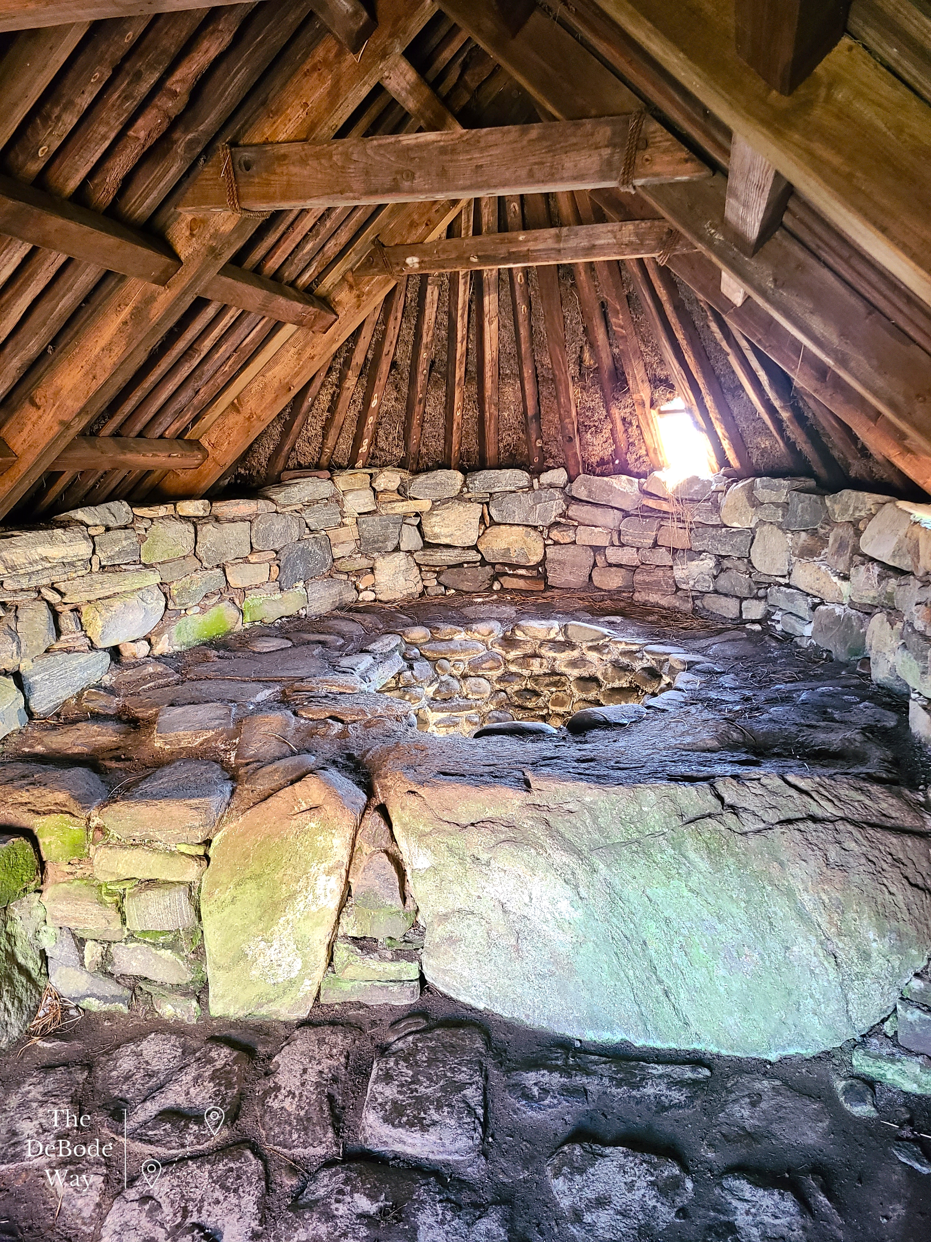
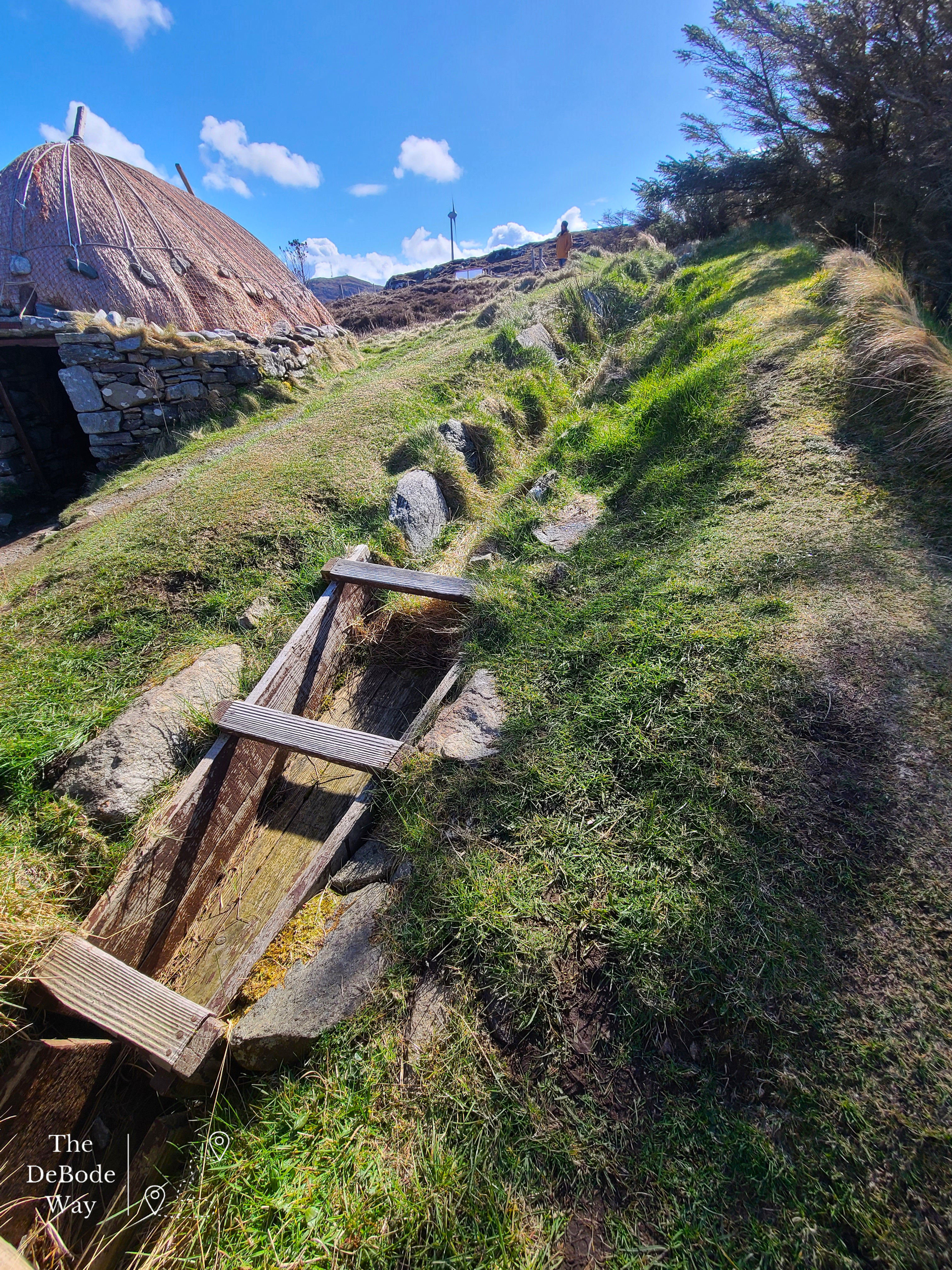
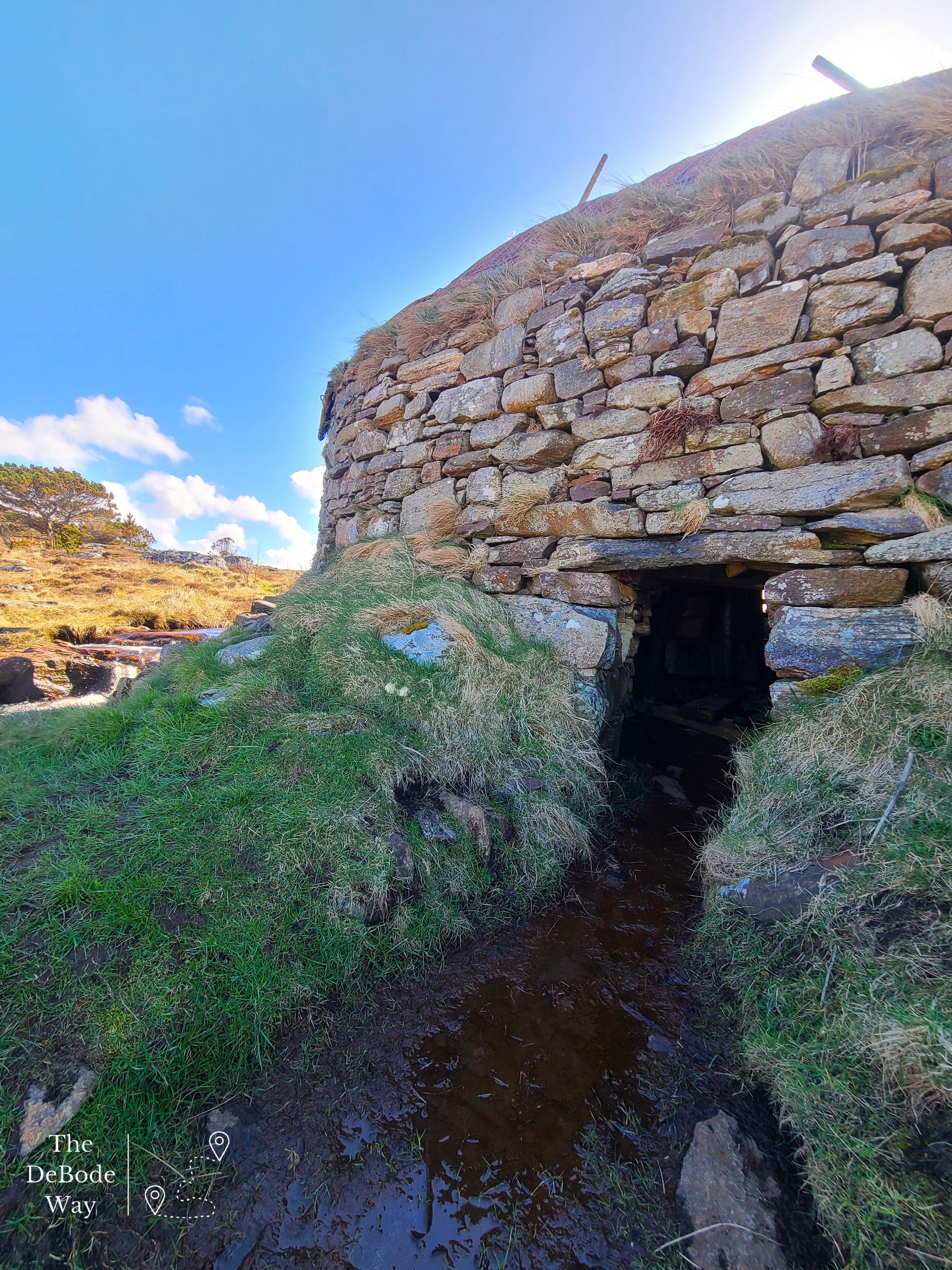
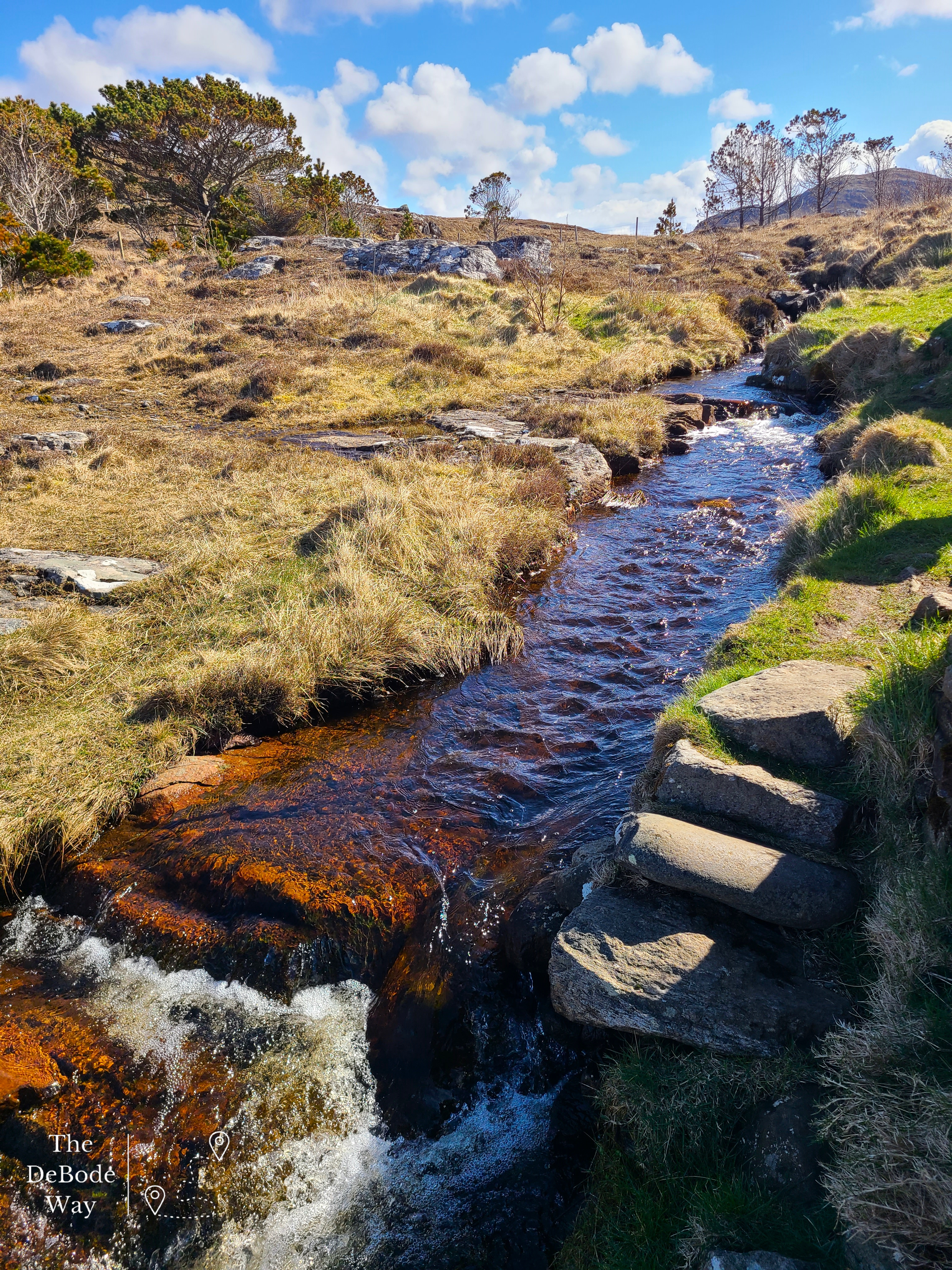
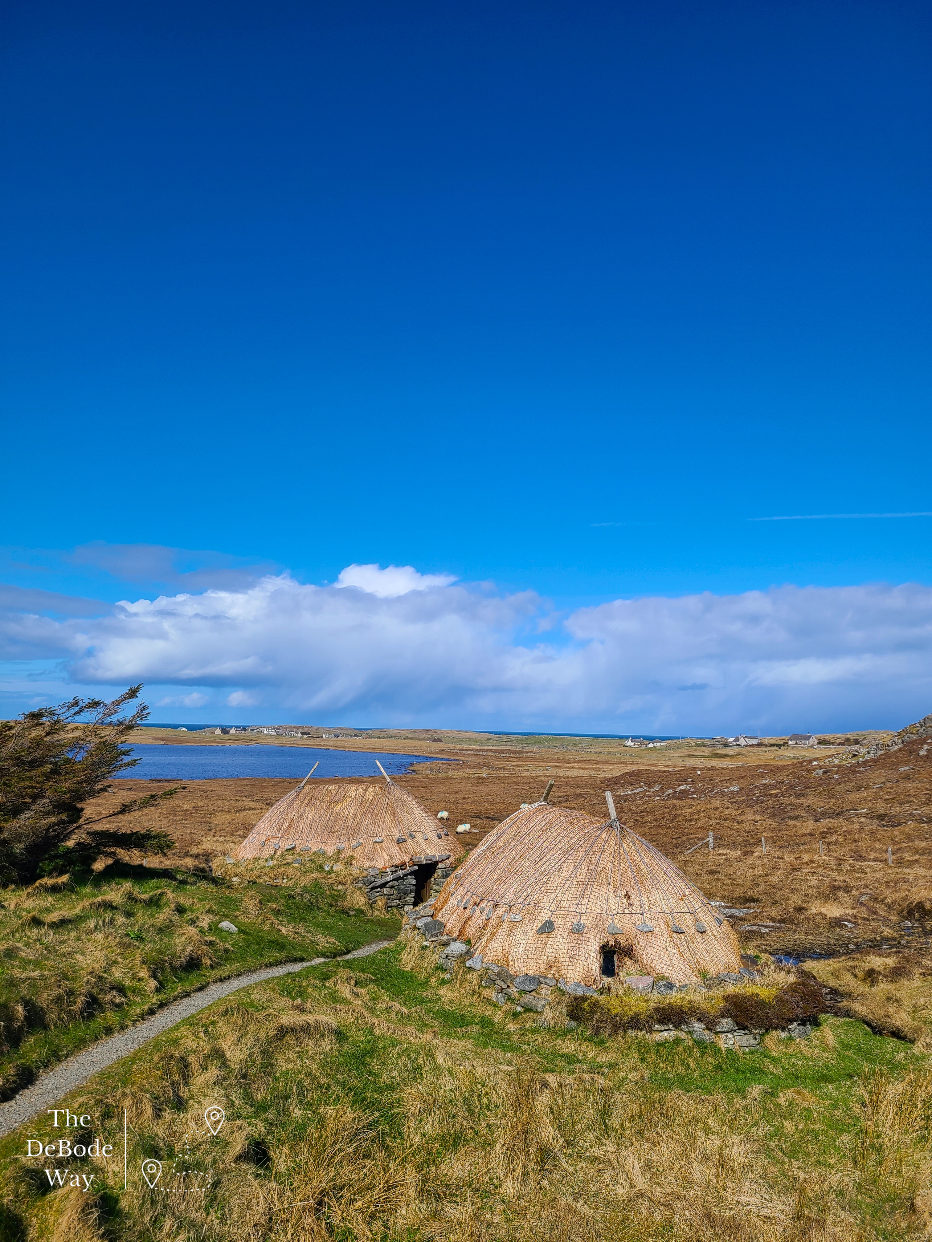
First up in our stops along the road to our B&B (which I can’t wait to tell you about in a bit!) was the Norse Mill & Kiln. Honestly, most people would probably pass this by but we needed a walk at this point. I’m glad we stopped, it was so fascinating. It’s a little bit of a hike from the car park (maybe ¼ mile), but there is a path of flagstones and gravel that was fairly dry and easy to traverse. We met an older couple along the way complete with walking sticks (the fancy kind, not hiking poles), top hat and long trench coats – just made me smile. It was like they were on their first walk since Victorian times. We walked out to the low coastline and encountered two rebuilt round stone buildings with thatch roofs. One was a kiln with a raised stone area with a basin inside to stoke a fire. Grain would have been laid on a platform nearby and dried to be ground in the mill. The mill next door was quite interesting. My usual encounter with a water driven mill has had a vertical water wheel on the outside of the building used to turn the mill stones to grind the grain. This mill had a horizontal paddle wheel located under the building – I was so confused until I finally walked (climbed) around the building, trying not to fall in the stream and looked under. Water had been diverted from a nearby burn along a ditch and then down a steep wooden channel under the building to turn the wheel. The water then spilled out the other side, rejoined the stream and flowed out into the bay. The turning paddle wheel turned the millstone to grind the grain funneled into a hole at the center of the stone from a hopper at the top. The resulting ground flour was forced out from under the mill stone as the bits became smaller and onto the surrounding stone to be gathered up for use. It was a very well done reconstruction, and the entire site was easily self-interpreted as there was no guide and not much information about. Satisfied with our discovery and understanding, we strolled back to the car and headed down the road to the next destination on our list.
Gearannan Blackhouse Village
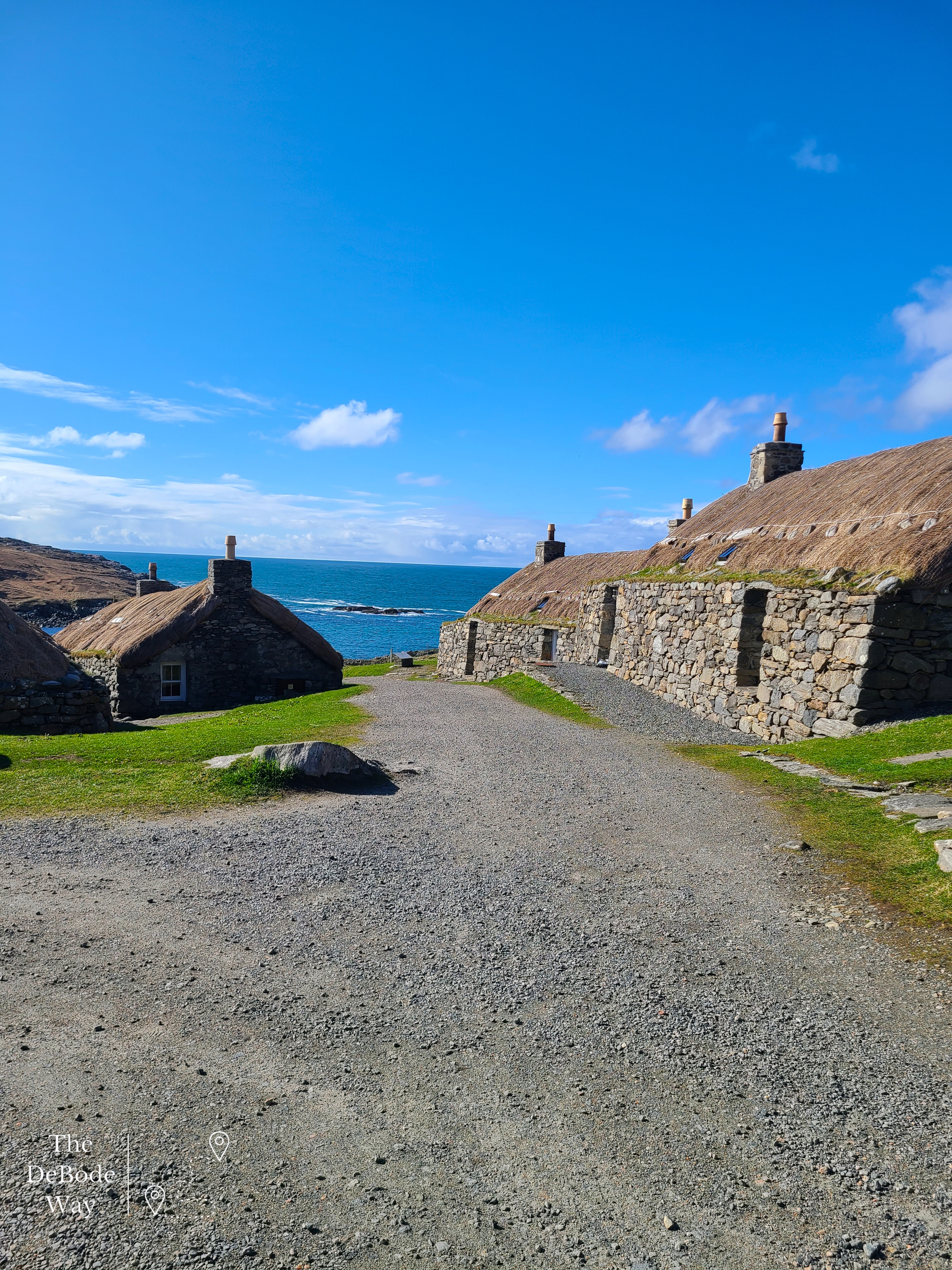
Confession: we had a rather difficult time finding this place. There are sooo many blackhouse ruins, those rebuilt as museums and refurbishments, and those that people actually live in – so cool. I think we tried two or three different places before we asked for some help from our handy dandy travel wifi. Signal shockingly acquired, we managed to get an actual address and find it. Victory! Typically, it’s actually quite difficult to get lost on the island but finding specific things is another matter. We usually head a general direction and find what we are after with a sign or two and some directional “feeling” – it’s just a gift I possess. Shrug – we’ll chalk that up to being a Midwest farm kid, I’m not really sure what it is. Finally located, we walked down from the car park and into another time.
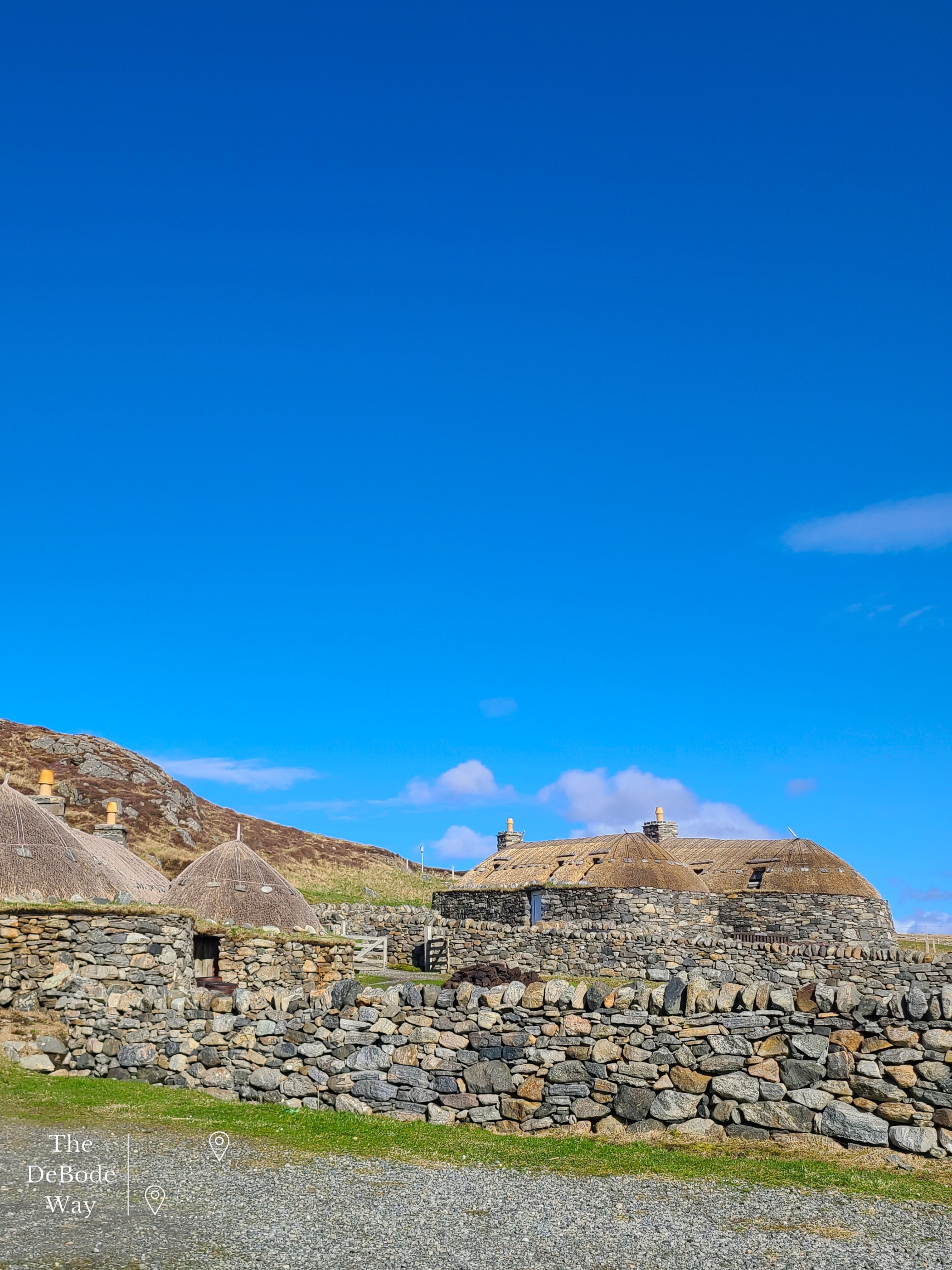
A blackhouse is a low stone rectangular building (roughly 4-5 feet tall and of varying length and width) with a timber and thatch roof. The stone walls are very thick to provide insulation against the wild island wind and weather in the Hebrides. This particular blackhouse village was inhabited until 1974 when the last few remaining residents were relocated to new houses with far less maintenance in the village. The residents continued to work their crofts from their new homes but the old blackhouses themselves were saved for conservation and have since been restored as a museum and holiday lodging. You can actually stay in a refurbished blackhouse! I wish I had known this – how fun. Next time.
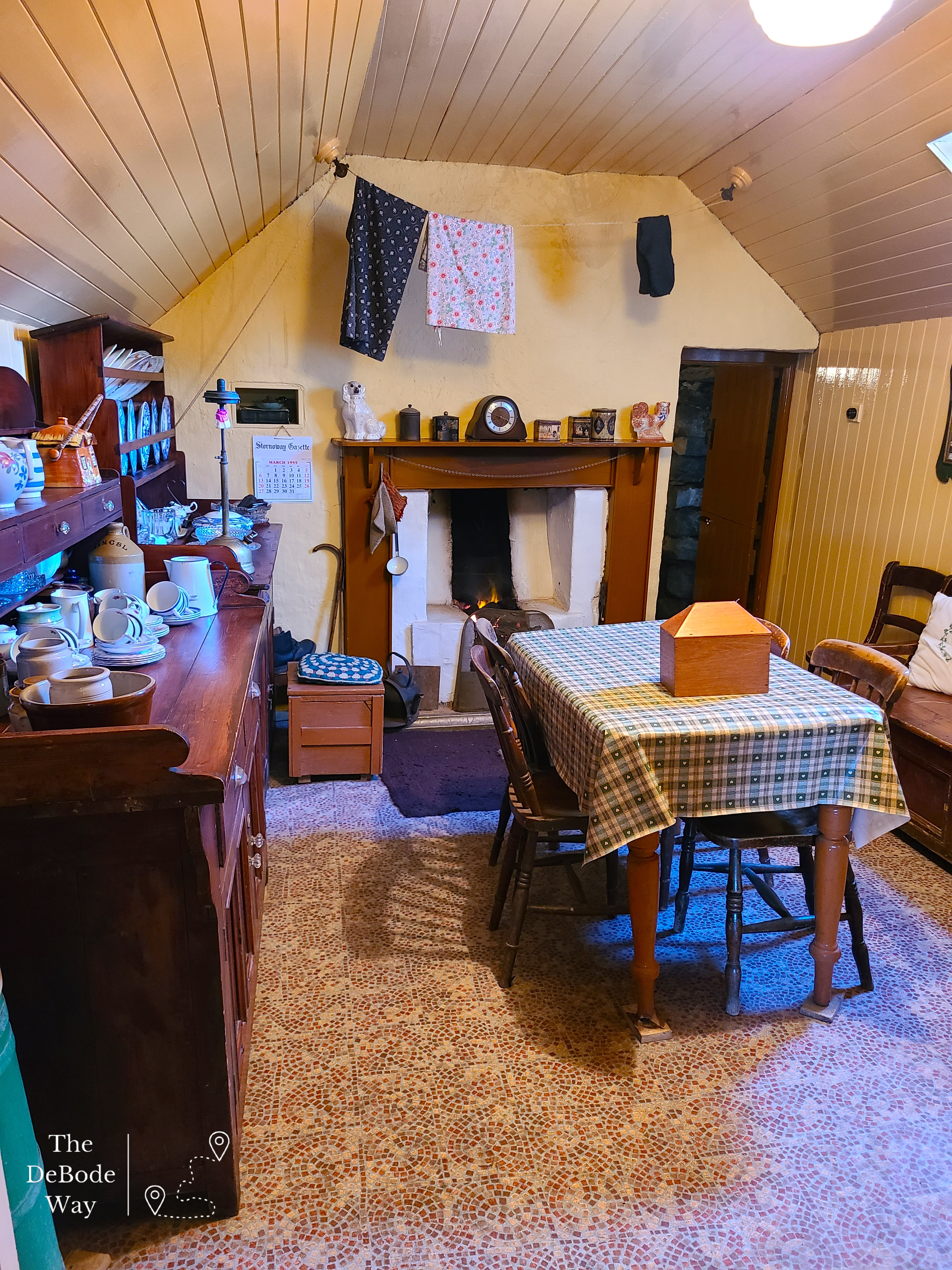

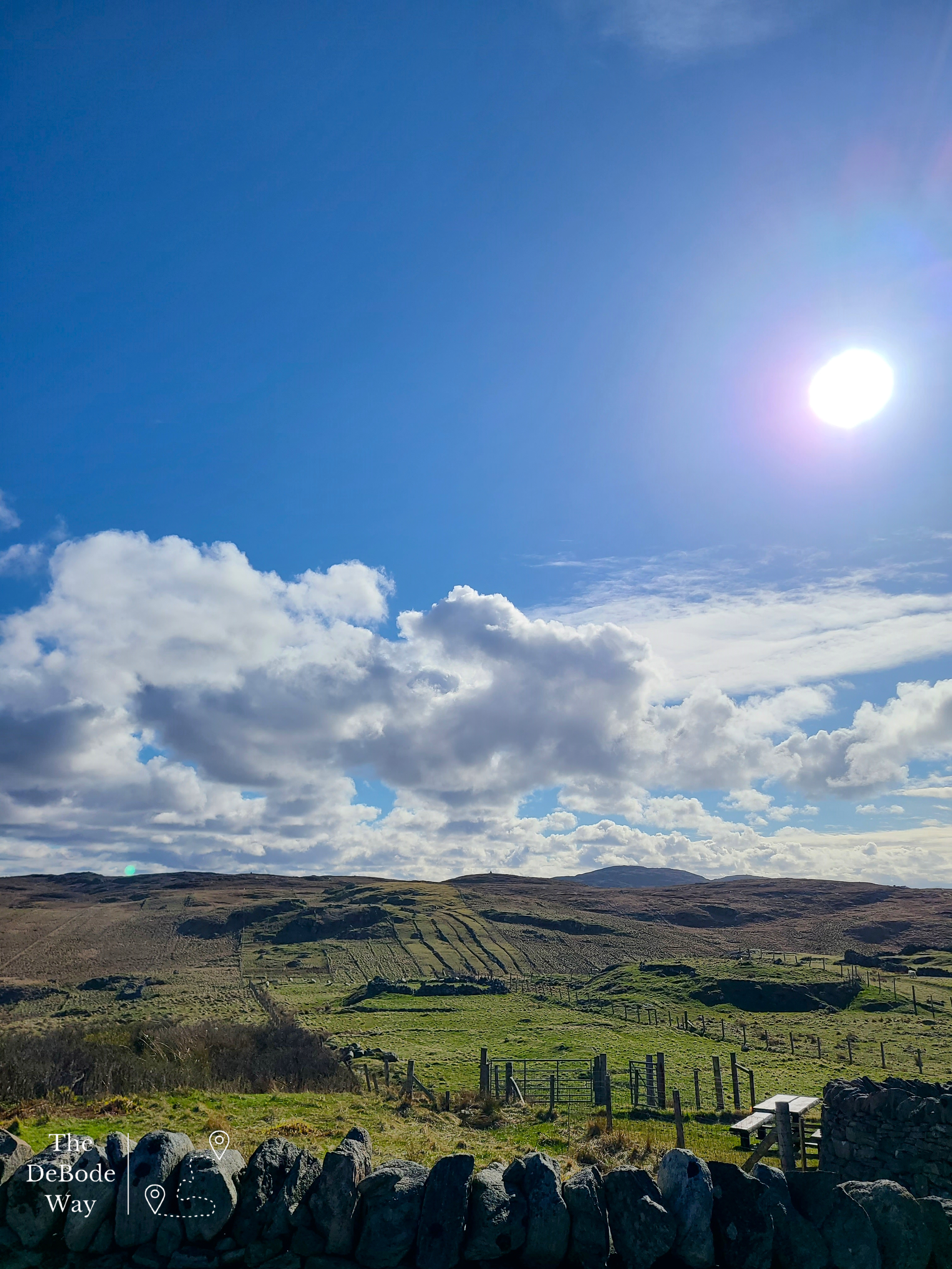
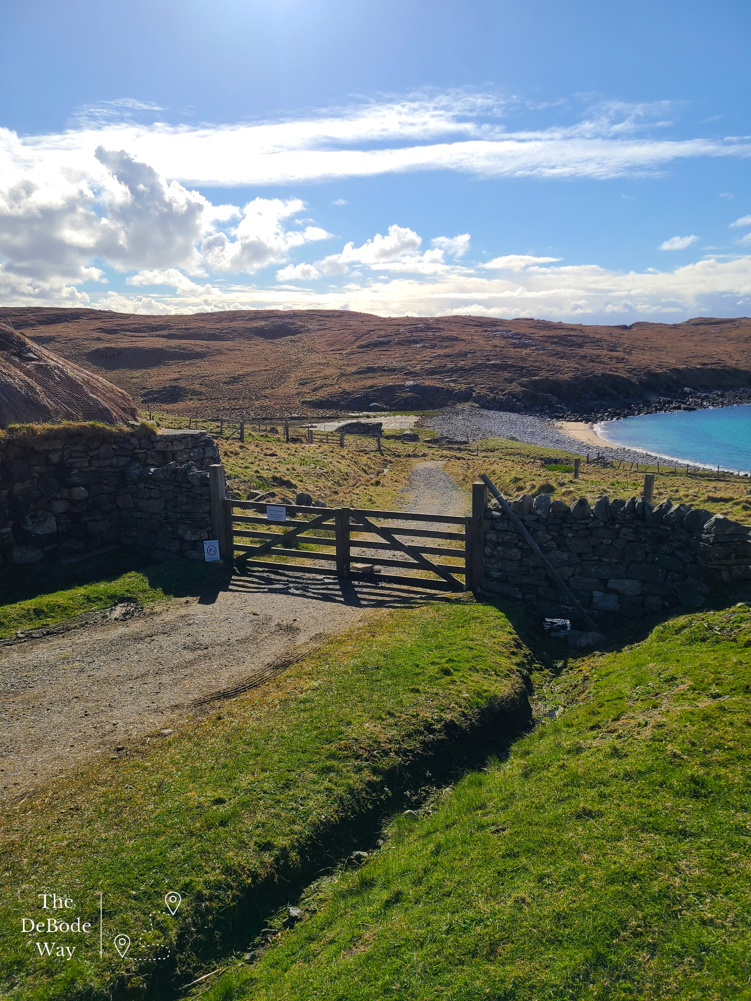
One of the houses is set up as a museum with painted wood panel lined walls, a single dividing wall splitting the house in two, and a fire at each end. It was quite cozy. We were told the wood paneling was added in the renovations for a more modern look and were not typical prior to the 1970s. Most stone walls were just painted to keep out the damp along with a roaring peat fire, as wood was very hard to come by on the windswept islands. The other end of this blackhouse was set up as a byre (barn) where animals would have been housed in the deep cold and many implements were kept. Today, instead of animals in this byre, a huge metal loom with a weaver making Harris Tweed was set up (Harris Tweed is made by independent weavers all over the island, not a factory) – what a complicated process. We watched a video on setting up the loom to weave. It takes ages to thread the width of the cloth (nevermind the spinning process to make the lengths of thread) before the weaving back and forth across the threads for a length of cloth can begin, constantly changing the shuttle for the intricate patterns. It takes a few days of clacking away on a very loud, heavy machine to produce a whole length of cloth ready to be sold. We watched the weaver in the museum for awhile, pumping away at the foot pedals that drive the machine to raise and lower every other thread while the shuttle flew back and forth to create the weave. My head was ringing after just a few minutes of that in the stone building. After days of it you had to be nearly deaf. We wandered through the village of holiday-lets and a hostel to the edge of the village on a cliff. A path leads down to the village’s beach with sparkling blue/clear water and the long skinny croft lands running up behind it. What a way to live! No wonder they didn’t want to leave. But we had to, the sun was starting to threaten to go down and we have another stop yet before check-in.
Callanish Stones
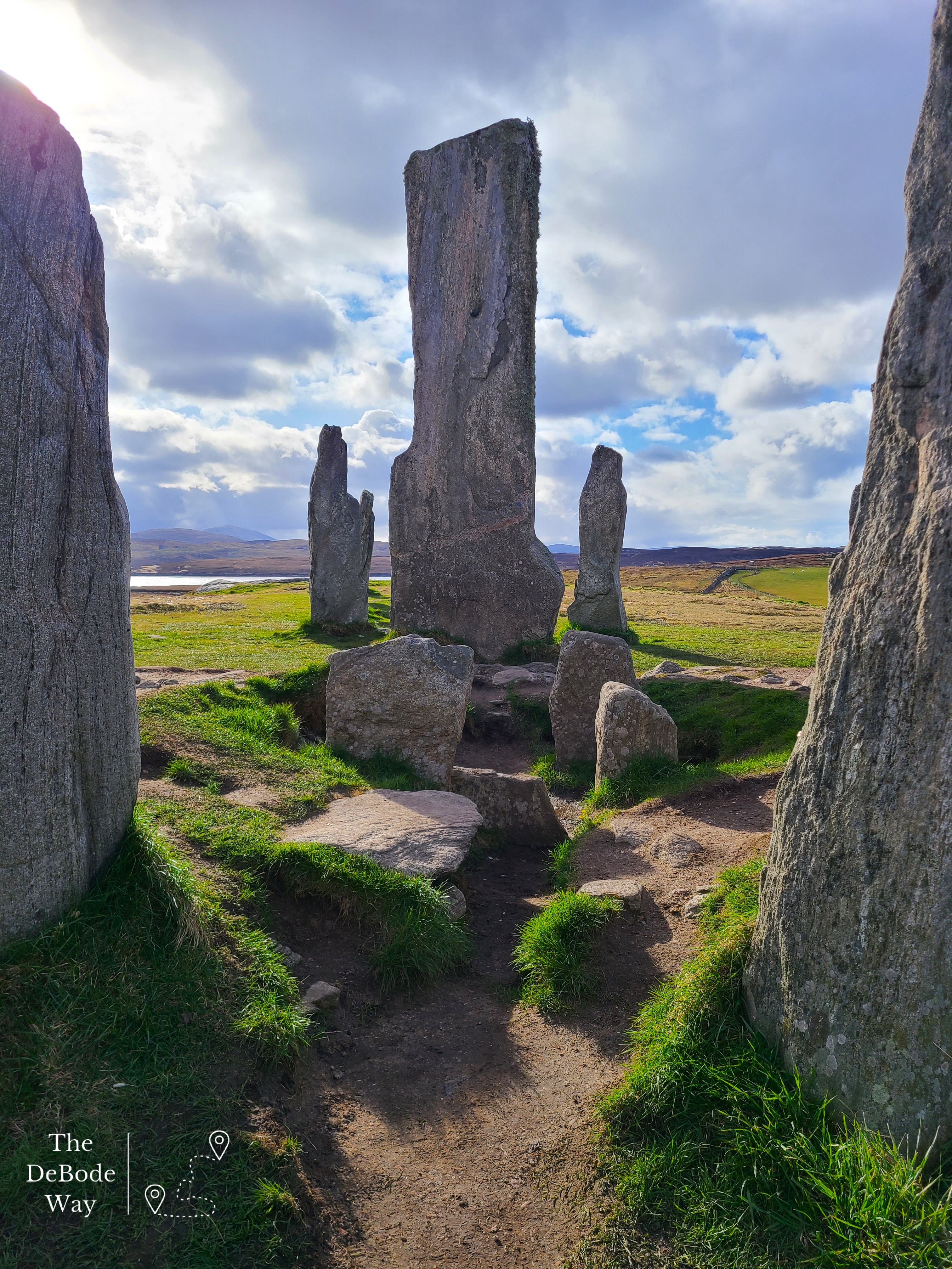
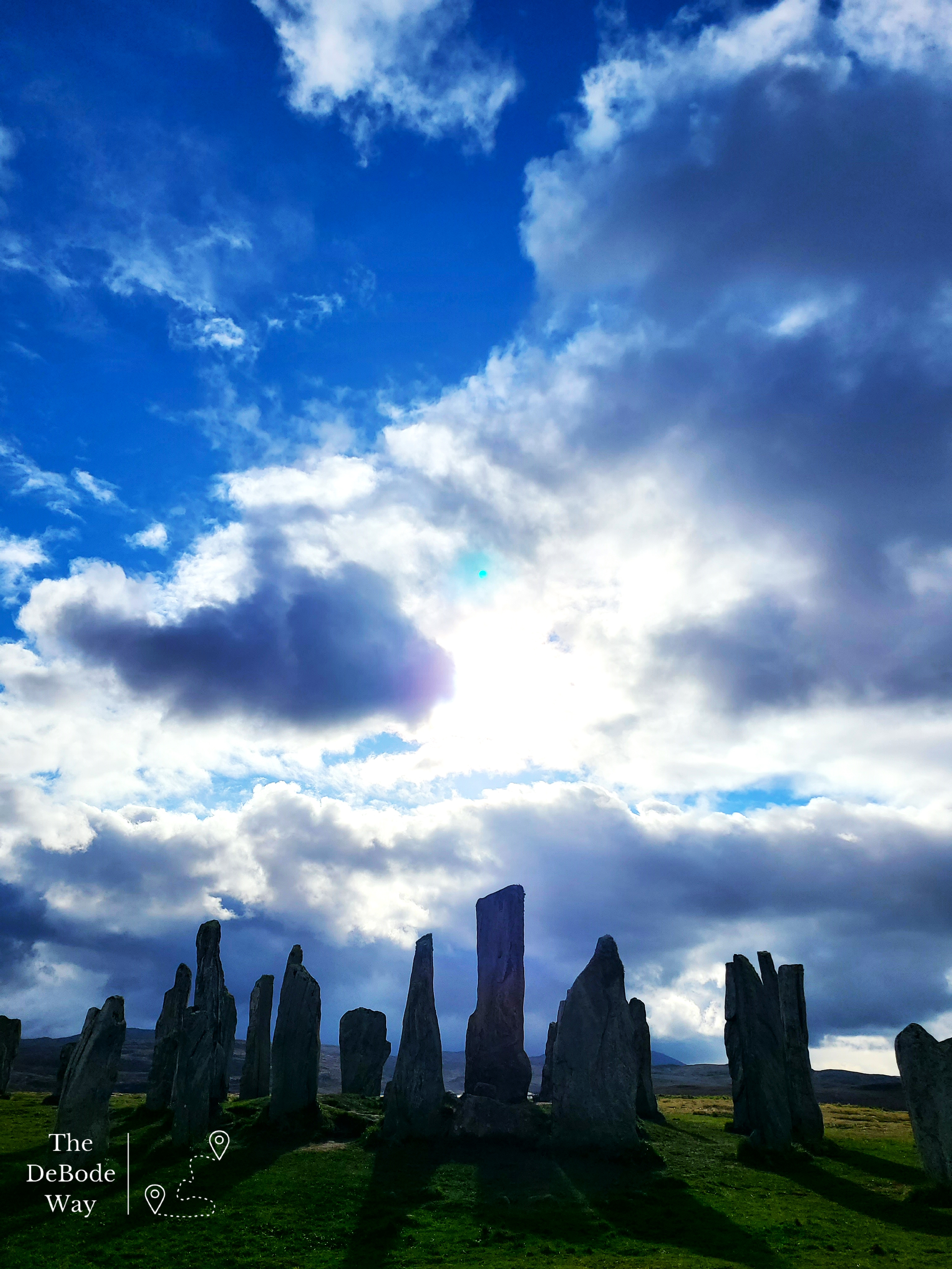
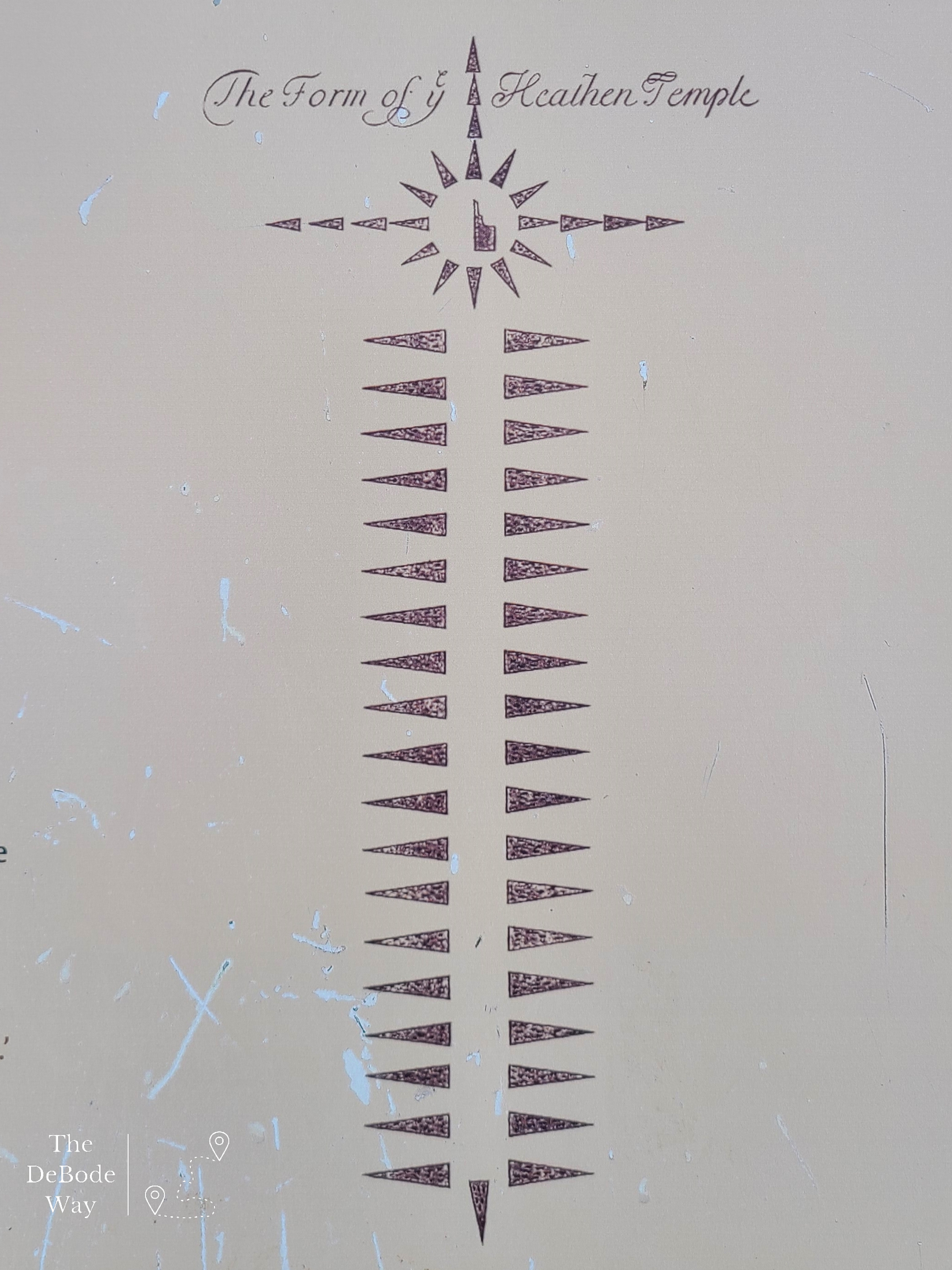
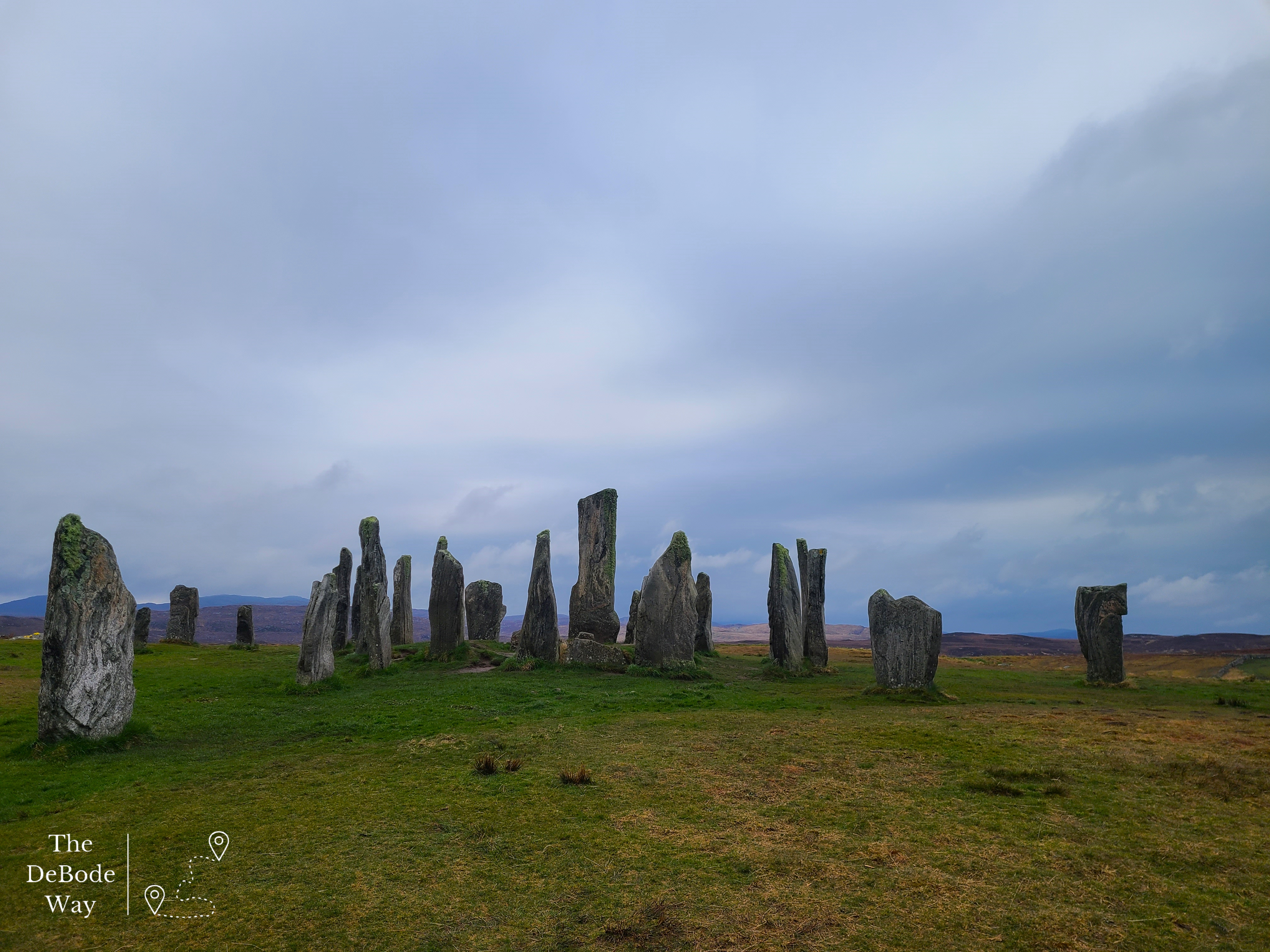
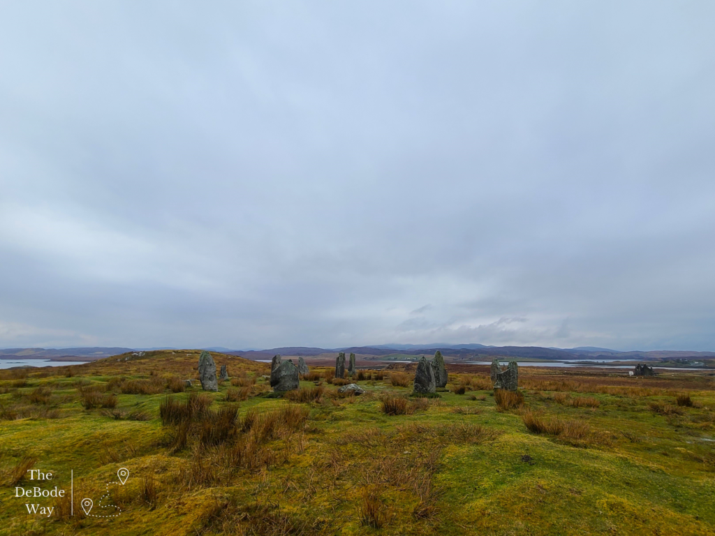
A little farther down the road lie the Callanish Stones. Callanish is the name of the area’s village and there are actually 11 stone circles and 9 single standing stones nearby. We went to the biggest and most famous of the circles first. We just barely squeaked into the visitor’s centre as they were closing before heading up the hill to see the stones. The site is absolutely massive and commands a fabulous view of the surrounding area! Callanish #1 is arranged in a circle with a center burial cairn. From the circle of stones, a cross formation goes out to the four points of the map. I think it actually looks like a Celtic cross from above. As with most stone circles, we don’t really know what they were used for, despite excavations. Ritual? Burial? Ceremony? All of the above? I personally just think they’re an amazing feat of human ingenuity in a time when tools were so primitive and lives were so bent to mere survival. The fact that many are still standing (lots have also been uncovered from the peat, up righted, and cemented into the ground, now) and here for us to see is amazing. We managed to get the drone up for some footage from above between other visitors and rain drops. That footage will make the Instagram page eventually.
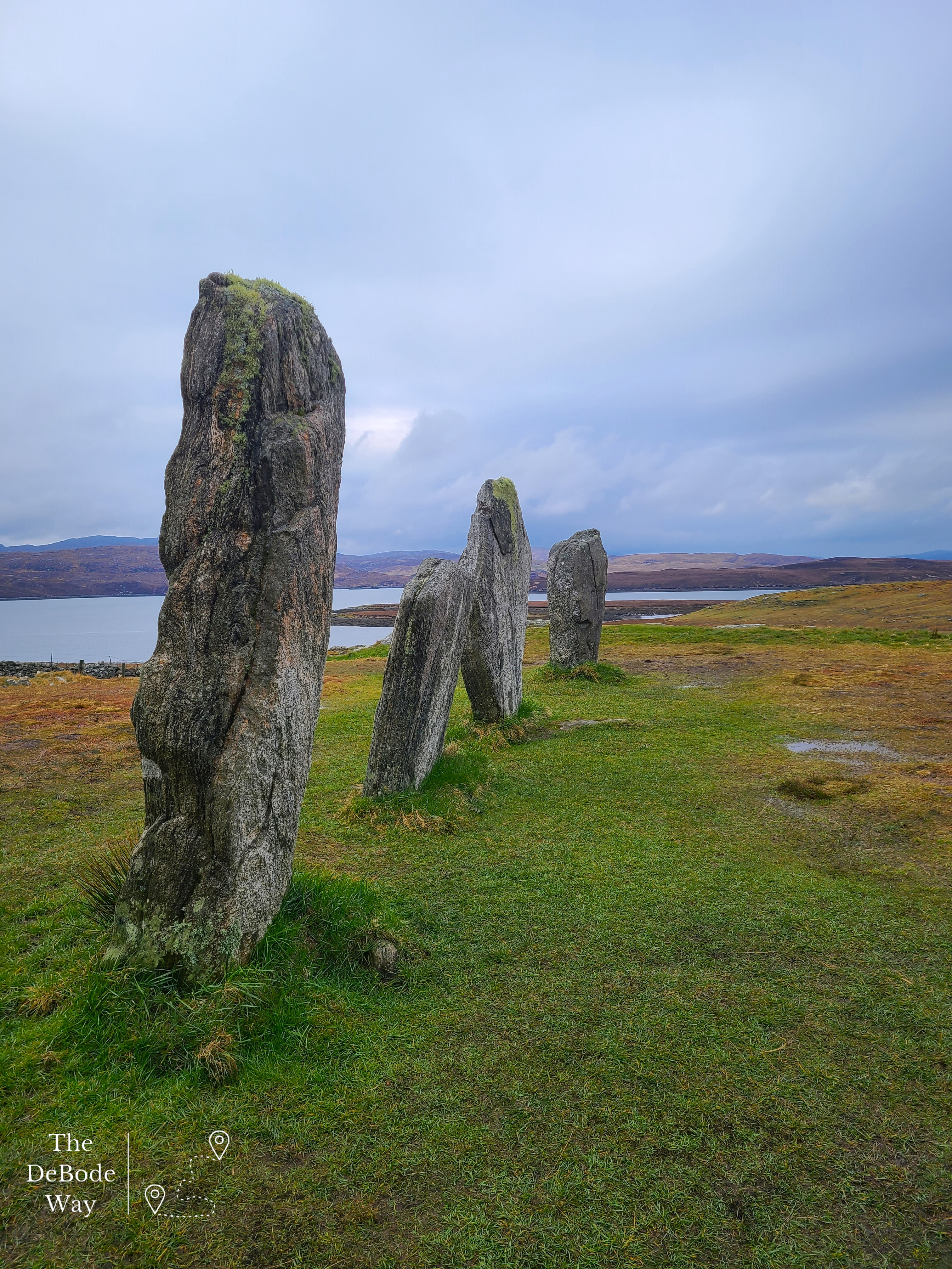
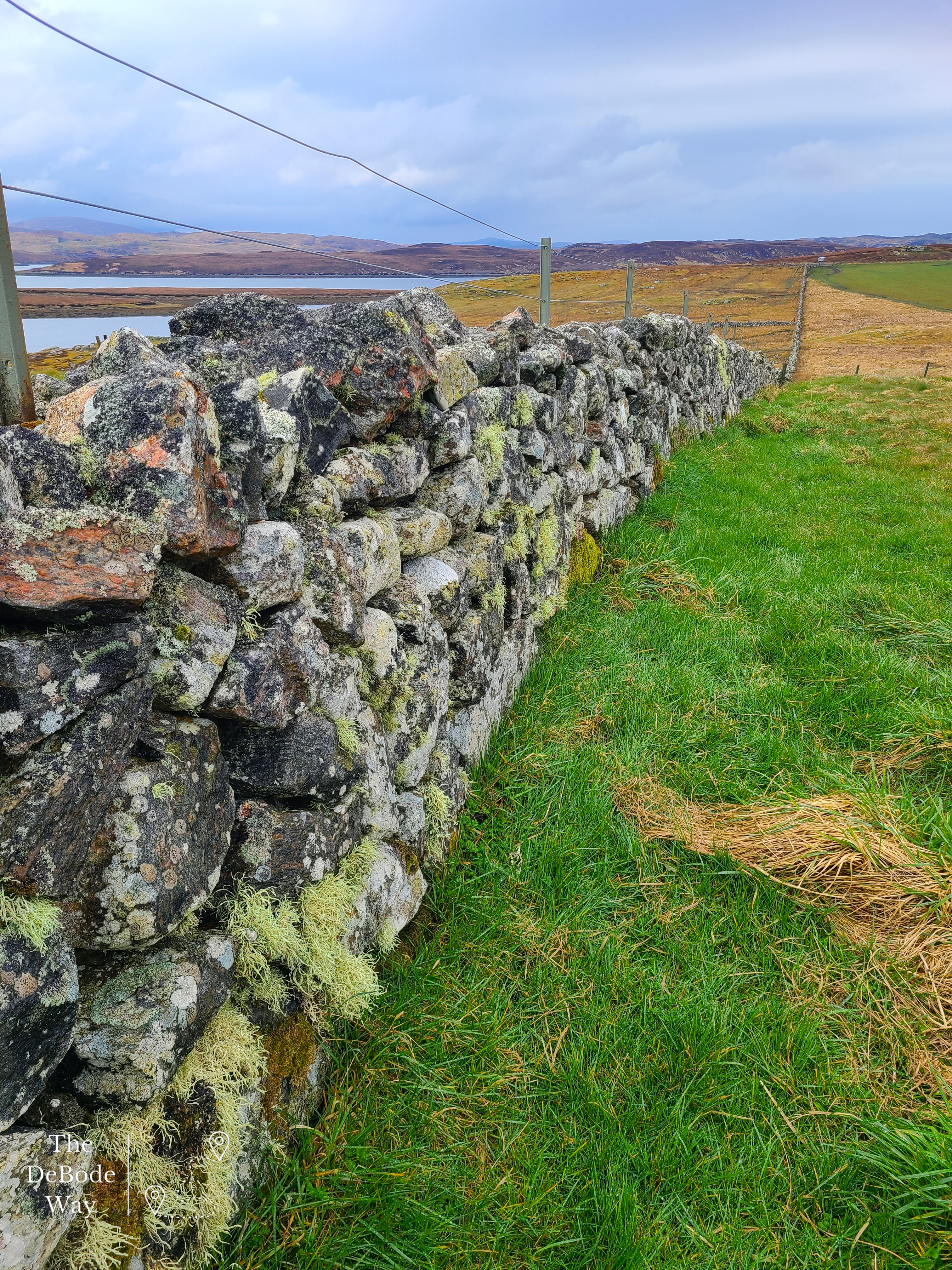
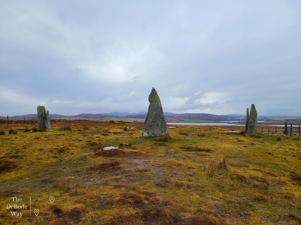
We visited two other stone circle sites a different day (because we were late to check-in at this point, whoops!), but I’ll tell you about them now. Just a tiny bit down the road (you could actually walk) lie Callanish #2 and #3. These stone circles are located in some seriously boggy pasture on their own little hills, it was an interesting trek out to see them. We nearly lost Jason in the bog at one point when he slipped on a wet plank at the edge of a dilapidated walkway but he managed to stay upright without any pulled muscles and with his hands still in his pockets (I’m told I look like a windmill when I use my arms to hike and create forward motion, I tell him he works too hard with his hands in his pockets all the time-marriage). Whew!
SEAcroft
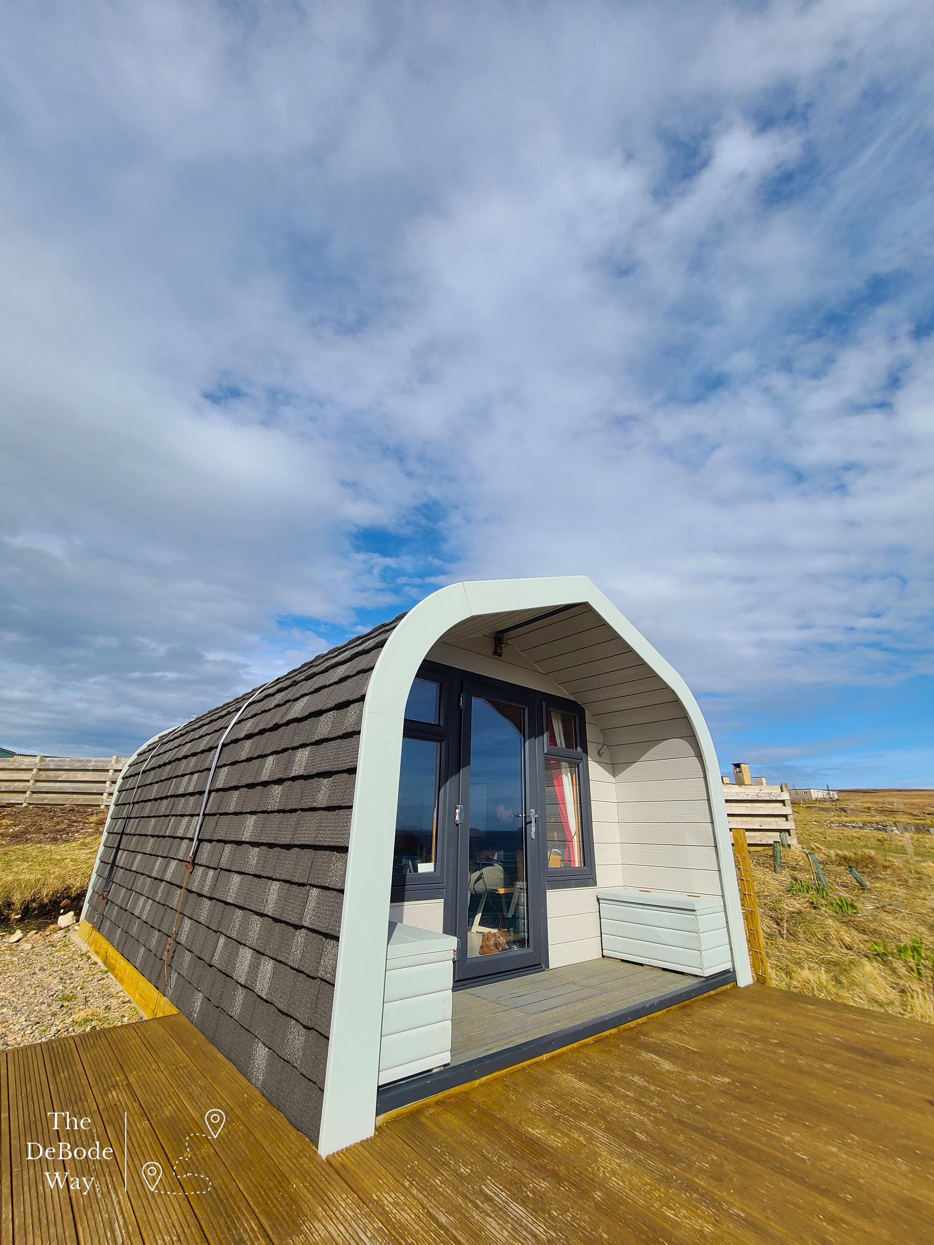
And finally, onto our destination for the day. We booked in for 3 nights at SEAcroft in Aird Uig in a little pod overlooking a sea cliff. I wasn’t entirely sure what to expect here honestly, and I was beginning to have doubts the closer we got. It was so remote we were beginning to wonder if we took a wrong turn (not that there were many options), but I don’t even have words for how amazing our view was. The moment we pulled up to our pod after checking in at the main house, a rainbow appeared over the cliff and crashing waves right off our front porch, plunging into the ocean. Just breathtaking. We knew we made a good choice *pat on back*.
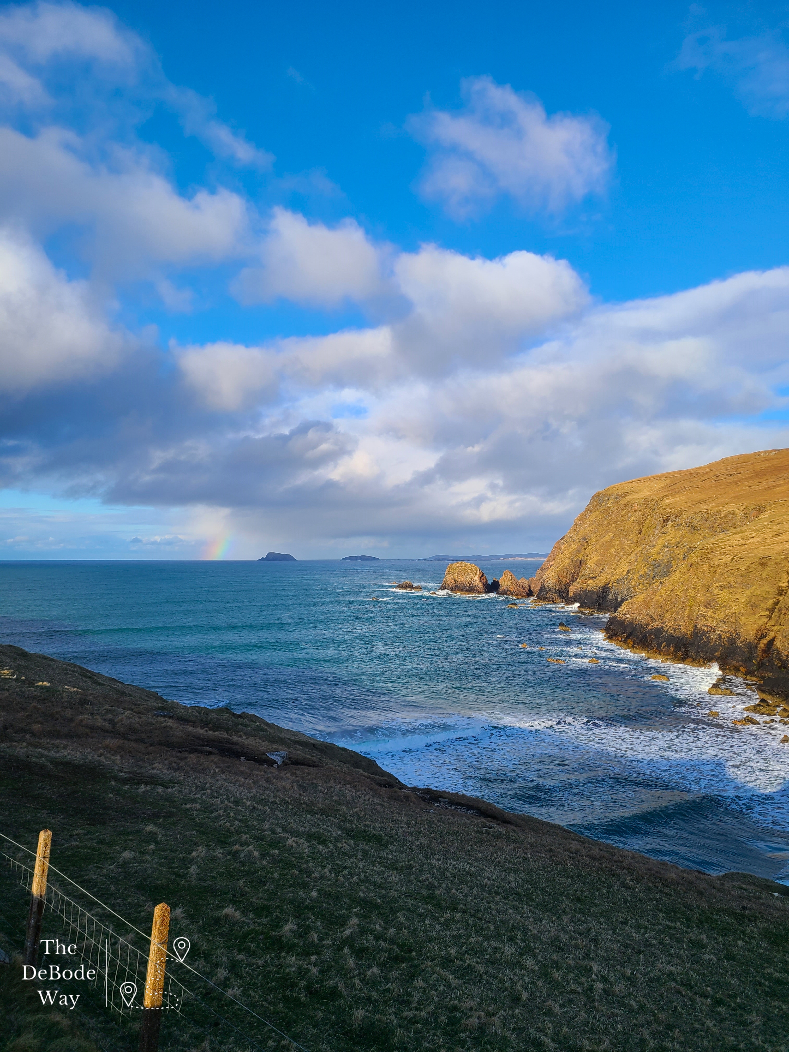
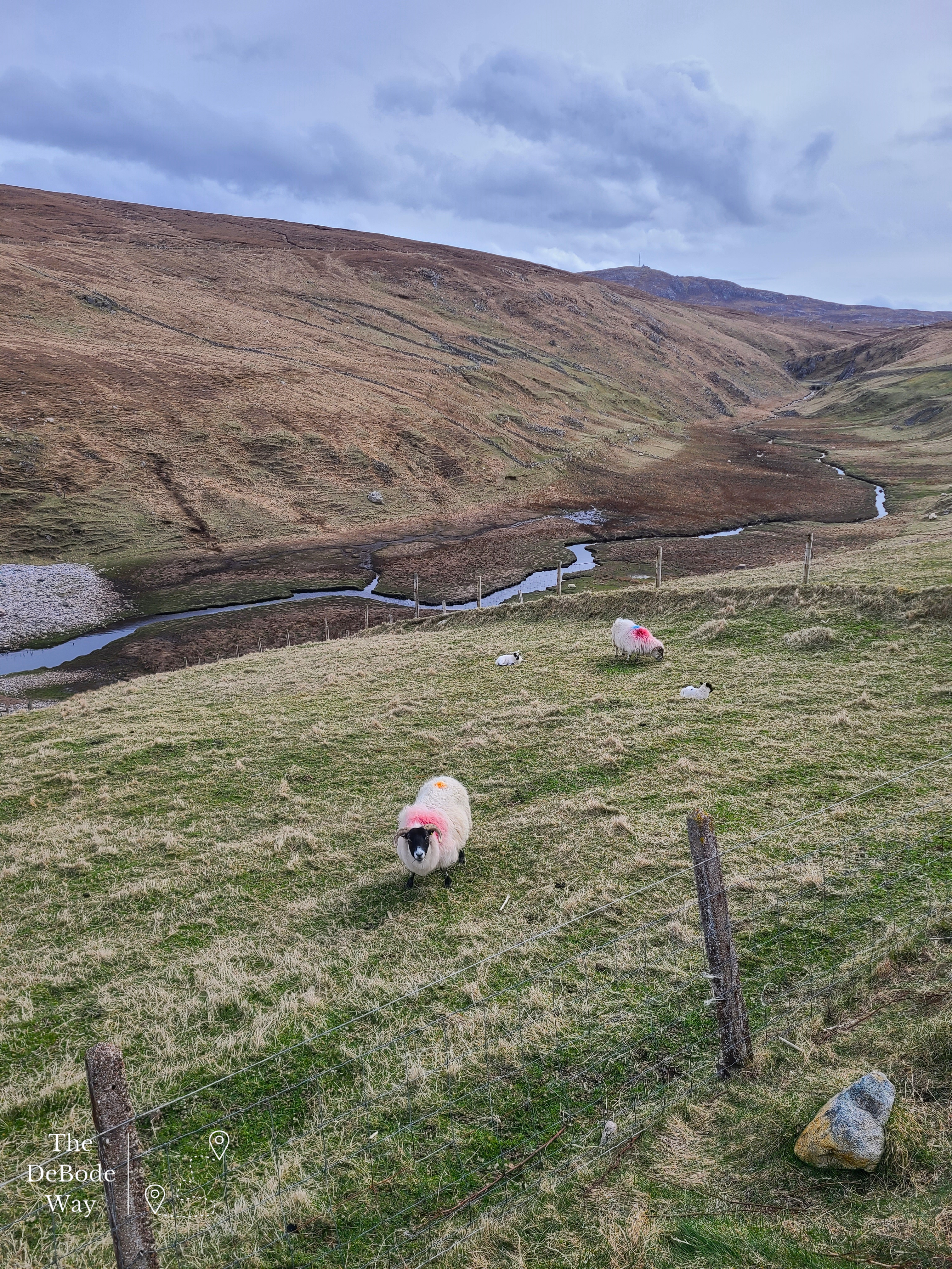
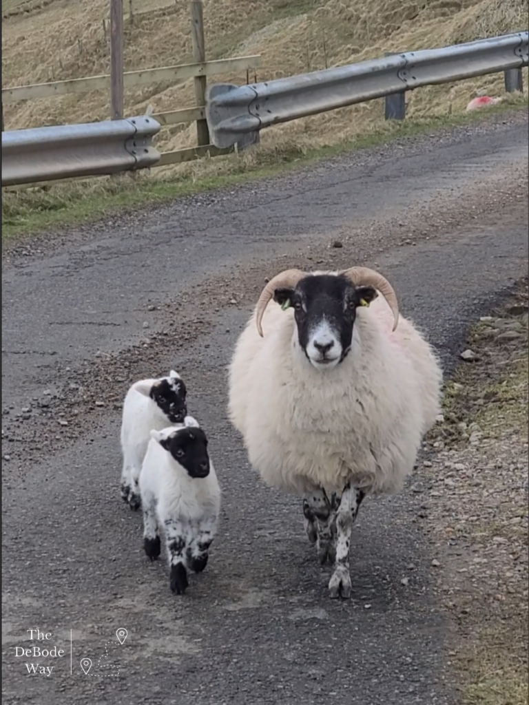
Our hostess, Sarah, was wonderful and answered all our questions about everything from what to do in the area off the beaten path, where the fish on the menu came from and how to avoid the dairy offerings, to my questions about farming vs. crofting and how they ever found the place and came to live there from London in the first place (the wheels are turning!). Their family operates the main B&B, pods and a longhouse but they also operate the croft on which the main house sits in amongst just a couple other crofts in the glen plus a separate croft 8 miles away. Jason was one of two American professors there on sabbatical (clearly they all need a break far, far away from campus). The other professor was actually working on the croft with the sheep, as they were about to lamb, in exchange for room and board – genius. No lie, I wanted to get out there with her and the sheep. I miss that part of my life, but I refrained, reminded myself I’m on vacation and my plane companions probably won’t appreciate me smelling like sheep. So, I went hiking instead, which interestingly enough did not prevent me from smelling like a sheep. Some things you just can’t quite take out of a farm girl. Shrug.
Quickly about crofting vs. farming. I grew up on a large, family owned and operated Iowa Century farm, so I had lots of questions for Sarah. The simplest way she explained the difference to me was that crofting is smaller than farming and is unique to Scotland. Sounds right up my alley. It was created in the 1700s as a way to support a local landowner’s rising estate costs by dividing their land amongst paying tenants and by fencing the once common lands off to raise sheep, but let’s focus on now. Today crofting is small scale tenant farming with a focus on the local economy. To keep your tenure you have to live on your croft, contribute to the local area, support yourself, prove that you are improving upon the land each year and you can will your croft to someone else if the commission agrees – there are lots of rules. Crofters do not own their land (but they can – bit confusing) but have the rights to use it, build on it and improve upon it – again all with planning approval. Crofting is very much tied to the land and about the land and local support and less-so about the physical farm buildings and wider market process. See why it’s so confusing? Even so, I’m ready to move to Scotland and be a crofter. I’ll get to keep my chickens and garden, add some sheep and be a happy camper in a climate that is far more appealing to me.
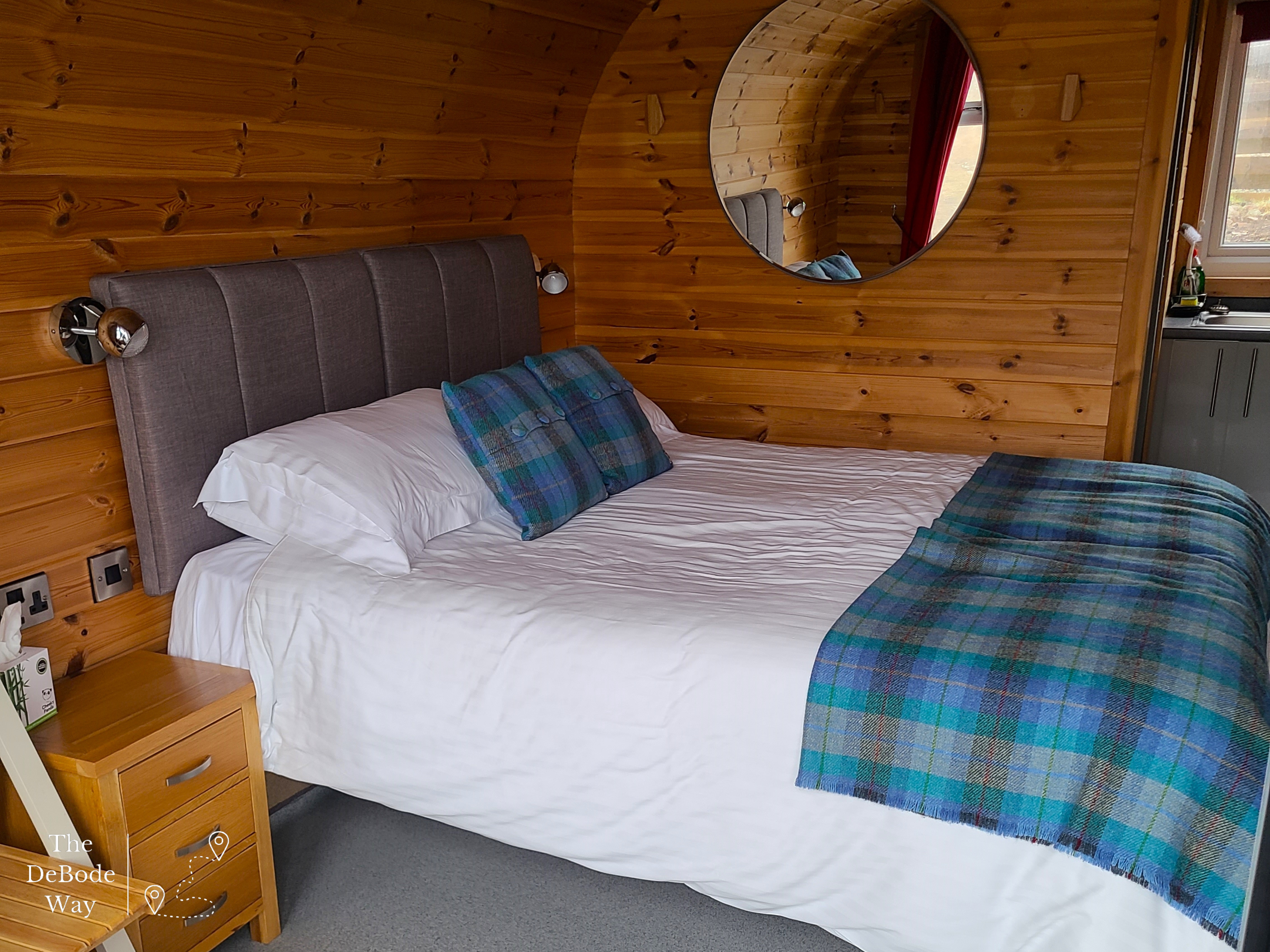
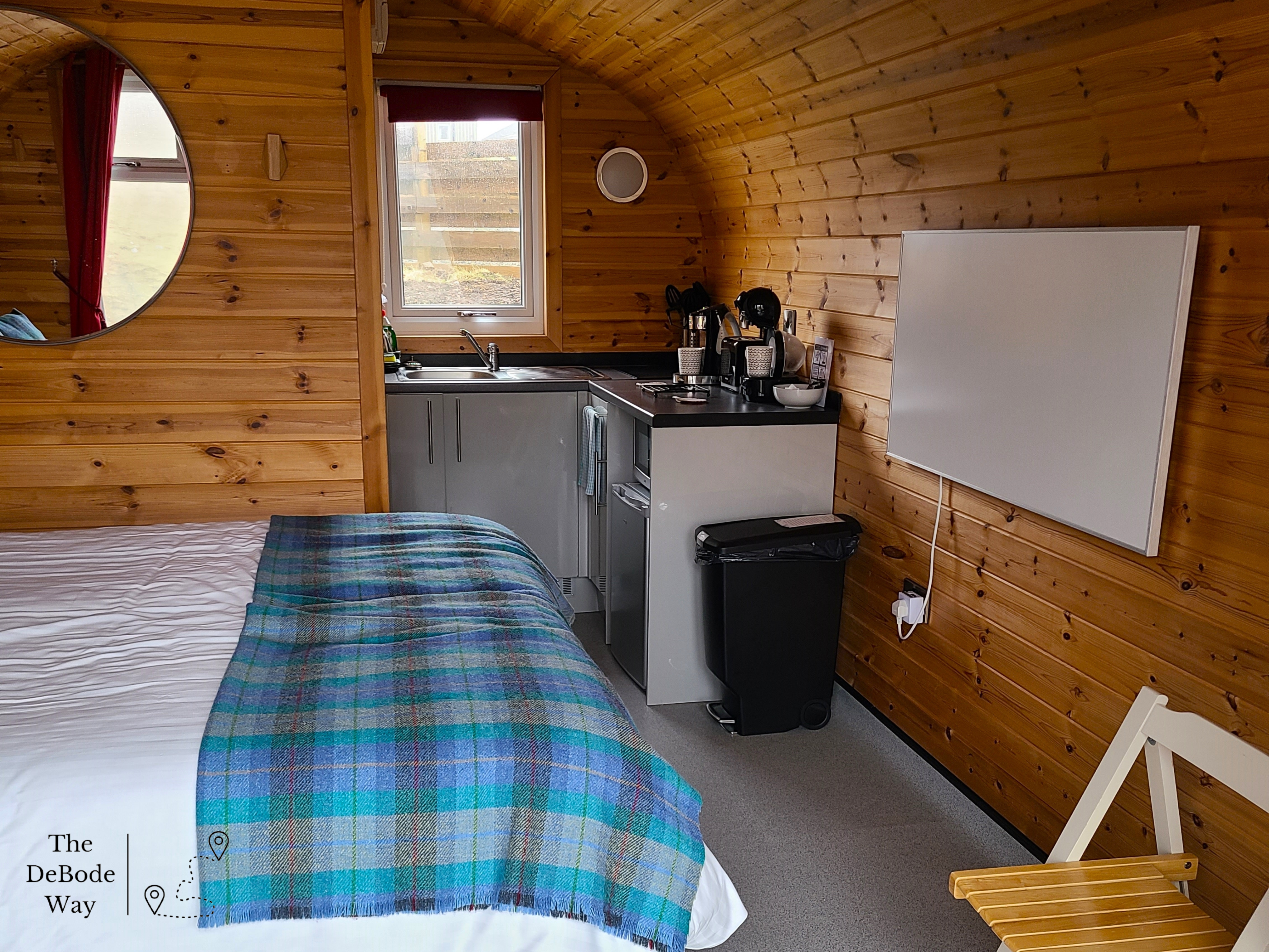
Our cute little pod was definitely a cozy little home. You could hear the wind howling down the cliffs outside but we didn’t feel it at all in our glass faced little den with our infrared heating panel (fascinating – I’m looking into this for our basement). We had to laugh though at the ratchet straps thrown over top and attached to anchors deep in the ground. The wind was serious business and you could feel the pod shudder every once in awhile.
Our first night and morning here we took the opportunity to do some sink laundry since there were two sinks – one in the bathroom and one in the kitchen. This gave the clothes plenty of time to dry on the heated towel rack and hooked outside on our porch in the wind before it needed to be packed up again. Our clothes hung all over was the only reason the pod ever felt small. Otherwise it was a great place to get a little work done, record a live video for our boutique and just sit with a cup of tea gazing out over the horizon. We really liked the pod.
Each morning and evening we walked down the hill to the main house for breakfast and dinner. We were booked in at the same time as another couple from England that we loved chatting with at every opportunity. They were as fascinated by us as we were by them. Loads of questions, travel stories and life stories were traded at each meal. And the meals! We may have been in a remote location but you never would have guessed from the amazing variety food. We had fresh caught seafood and vegetables plucked from the croft at every meal. There was even an instance of someone meeting their lobster (not us) before it went in the pot. The chef – bless him – recreated a number of dishes on the menu for me to omit dairy. I never got to meet him but Sarah said he was always so nervous about what I would think. He did brilliantly! On our last night we had dinner almost entirely alone and Jason decided he would give the langoustines a try. Luckily, this came complete with a lesson on how to eat them and he tortured me with their legs and beady little eyes while I worked on my halibut and veggies. Shudder. Full Scottish breakfasts every day for Jason and salmon and eggs or avocado toast for Tasha. Mmm toast.
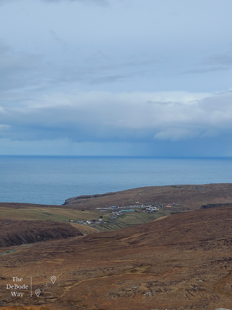
& base at Gallan Head (top right). The pods are black dots right below the big white building.
COMS Tower
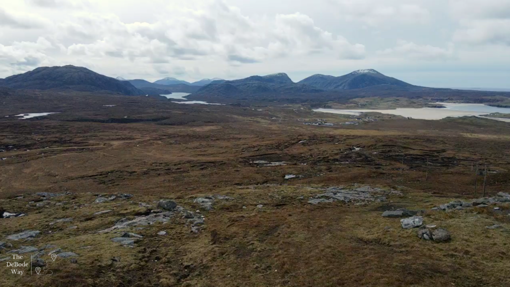
One of the suggestions made to us from fellow guests at SEAcroft and from Sarah was to turn off the road from Aird Uig, open and go through a gate and up the drive to the area’s communication’s tower for the view. We were assured we could drive up the road, walk up the 92 steps to the bottom of the towers and hike up the hill without bothering anyone. This would have had all sorts of trespassing issues at home but Scotland has this “right to roam” law that allows recreational access by foot to most lands. It’s a little complicated but basically if you use common sense, act responsibly, respect other’s privacy and do not harm the environment you have an amazing amount of access to explore the country. This is a relatively new law (2003) that gave a nod to ancient traveling traditions. As a traveler, I think it’s amazing, but it would be interesting to hear what land owners think.
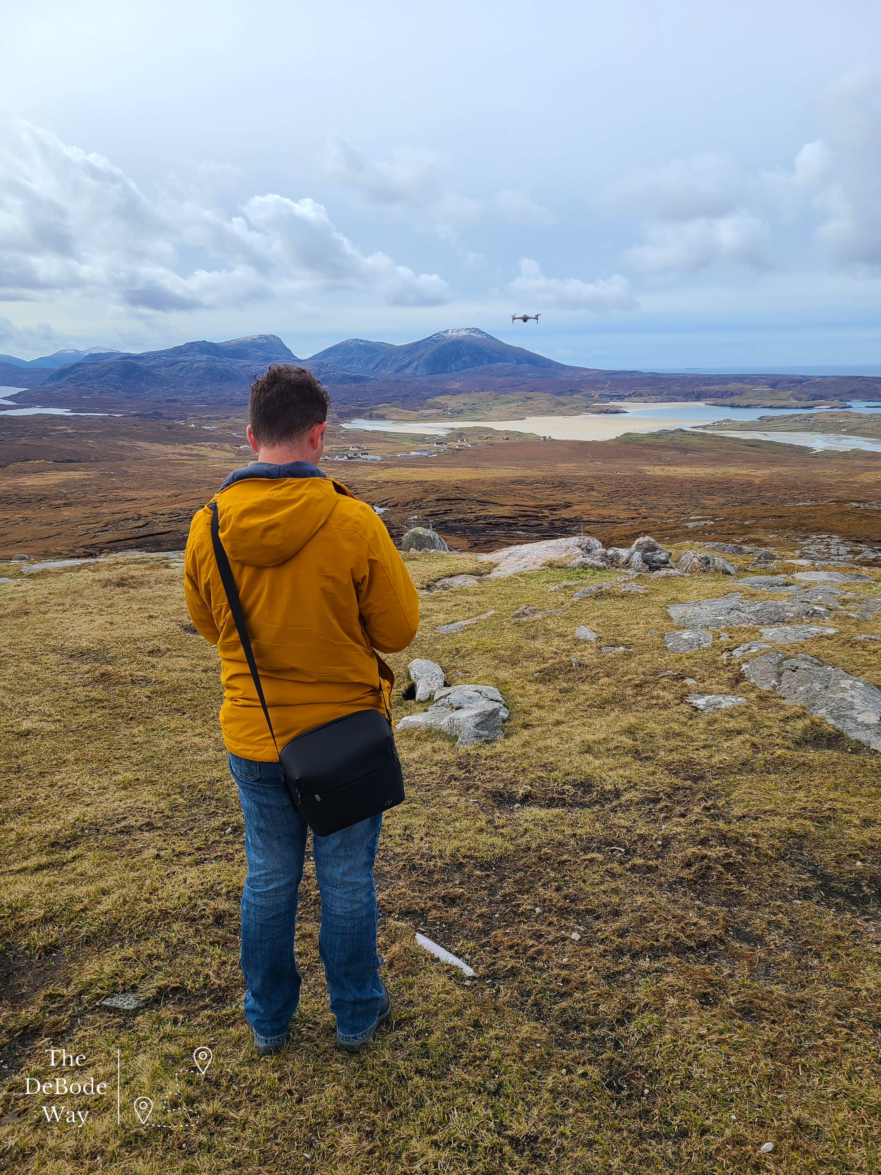
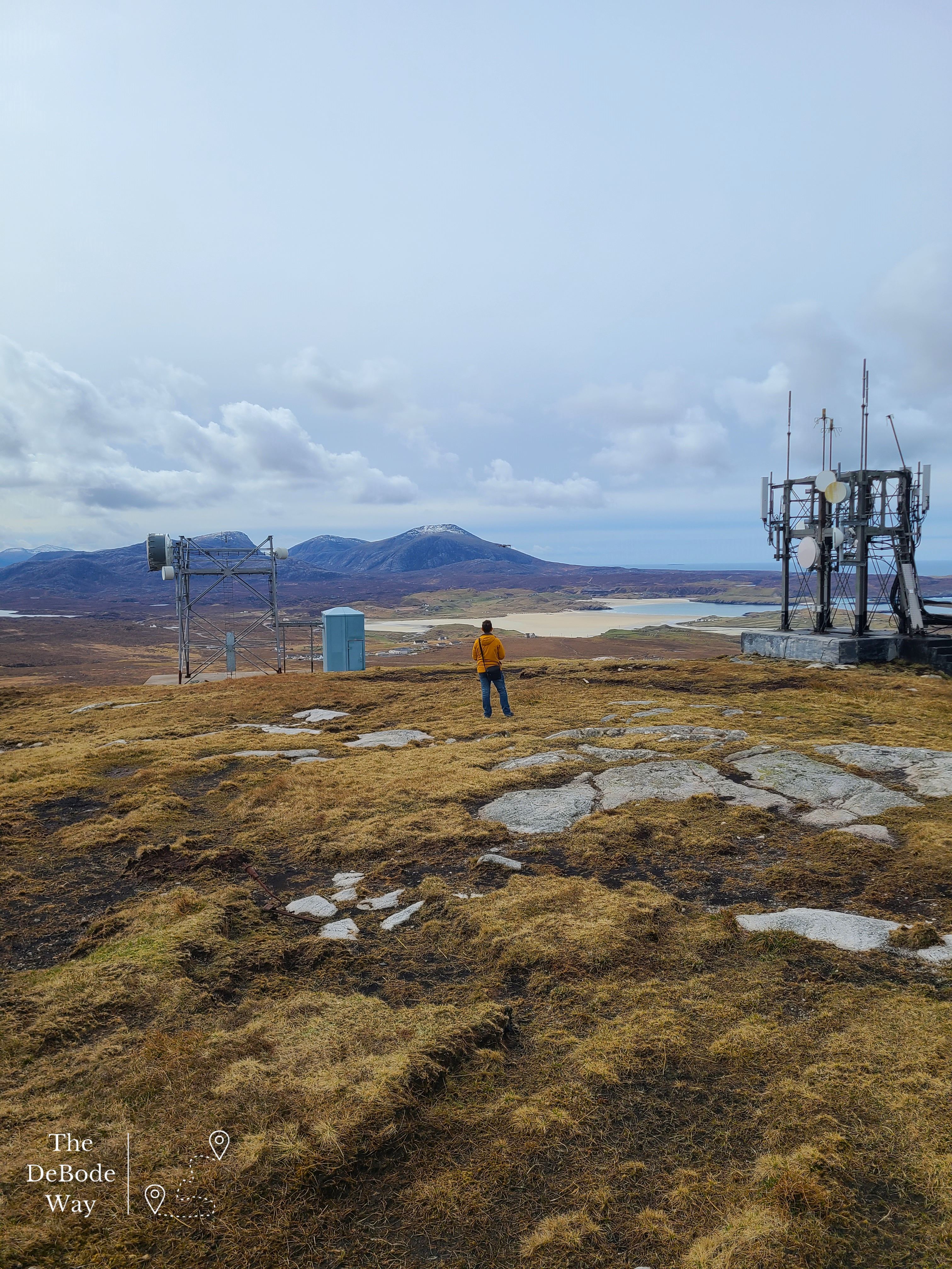
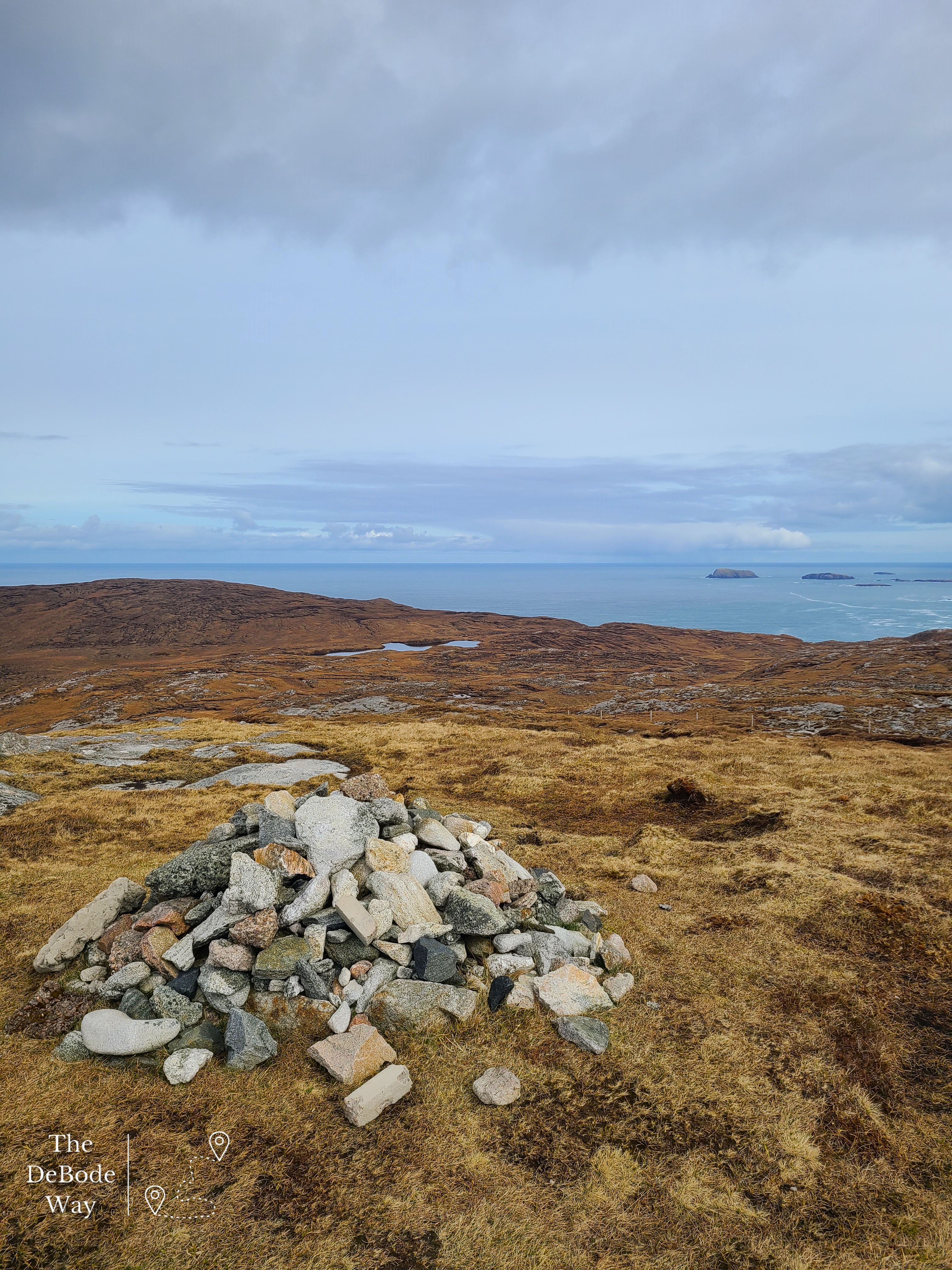
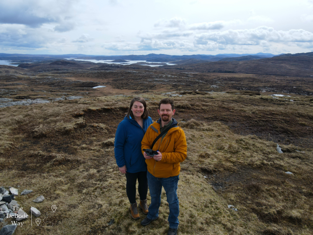
But back to it though, sure enough, once we were to the top of the hill we were treated to a spectacular view. We sent the drone up for some fun footage of the 360˚ view that extended from mountains and valley to sea. We could even see our tiny pod perched on the sea cliff way off in the distance. We spent some time planning our next adventures to the interesting features we could see from our perch. Perfect.
Reef Beach
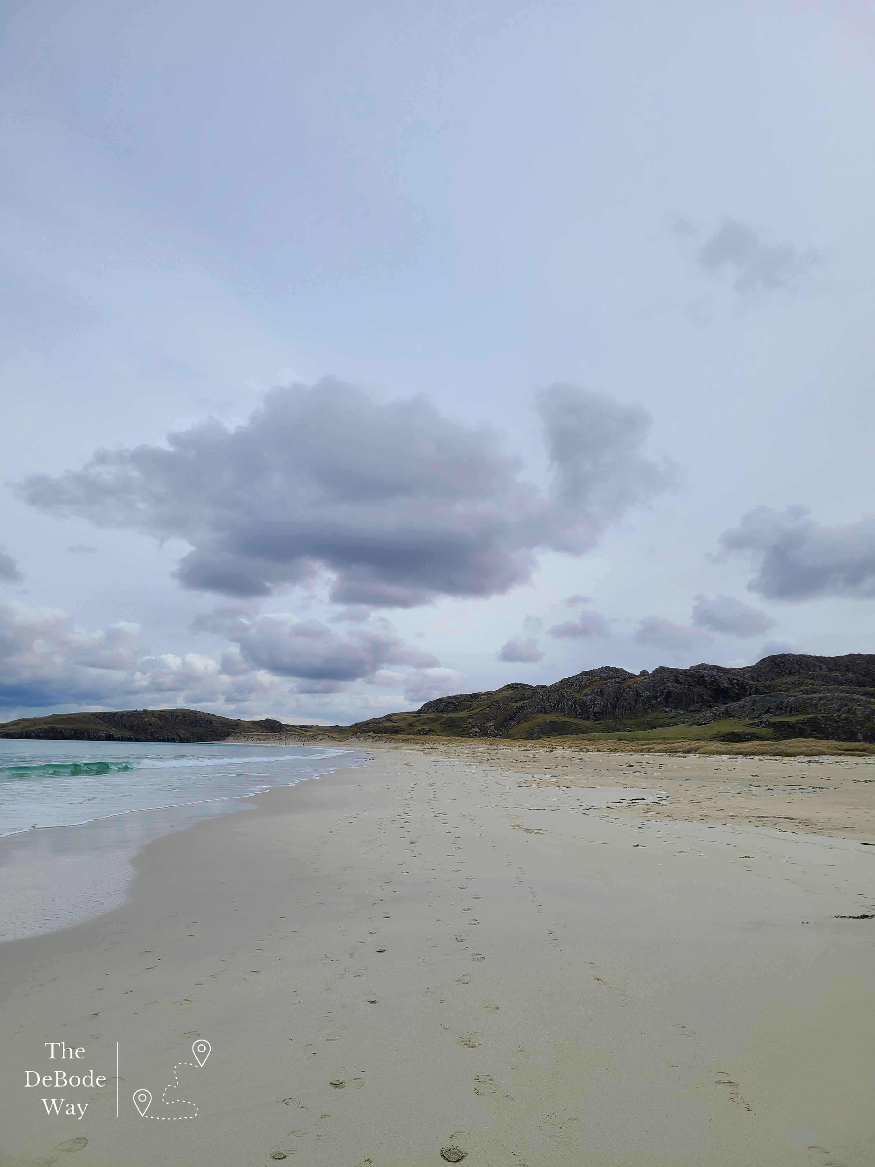
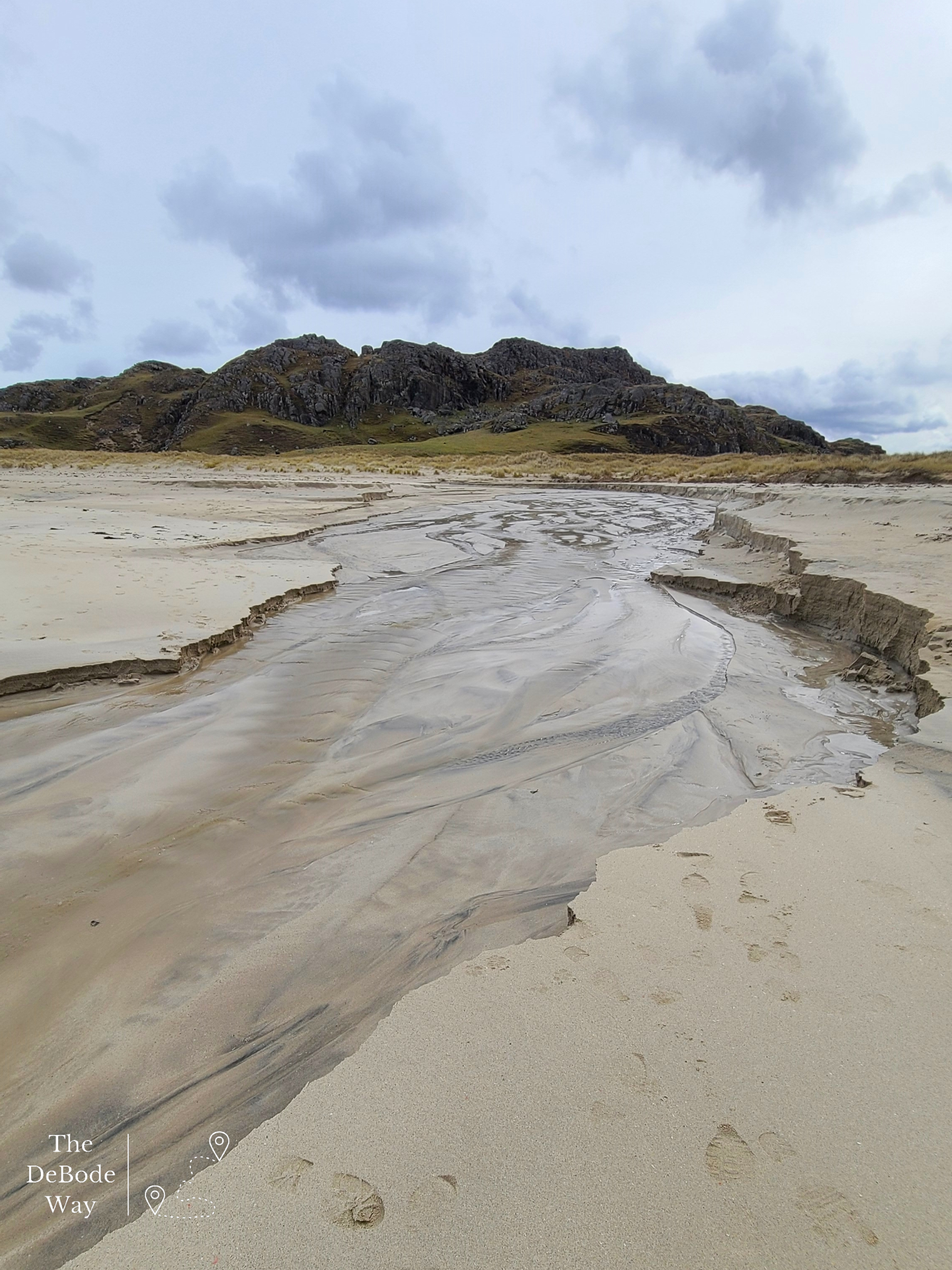
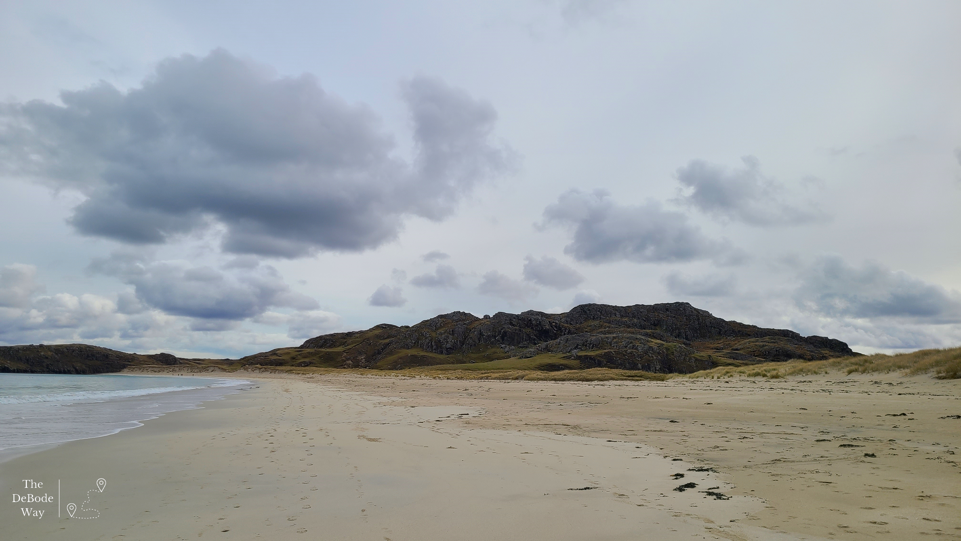
So, onto our next adventure. The following day, which was the same day as the Coms tower, we took off on a little drive that had us backtracking a little but not much. We drove back out to the main road at Timsgearraidh, hung a left and then another left off the B8011 at Miavaig and took the circular loop drive to Reef Beach. This was truly when we started to wonder where we were, no way this is still Scotland. Reef Beach is spectacular. Green mountains at each end, a miles long stretch of white, sandy beach meeting the clear blue water and sand dunes covered in reeds up behind that look like something straight out of the Caribbean. We took a long walk along the beach, in hiking boots, not something I can say I’ve ever done. We didn’t see any bare feet but saw lots of Wellies, apparently this is how you do the beach in Scotland. We were thankful for the waterproof boots when we came to a freezing stream flowing from the mountains and across the sand to the ocean. We were greeted by an overly friendly dog who left a massive scratch on my leg (I’m fine) when he ran over to greet us from the beach picnic he was attending. It took some convincing for him to go sit back down and not continue on with us down the beach. We turned around before we reached the end because we encountered another, much deeper stream with quick sand. I wasn’t in the mood for wet feet, so we headed back down the beach, across the first stream (which had grown!) and back to the car.
Drive to the Edge of the World
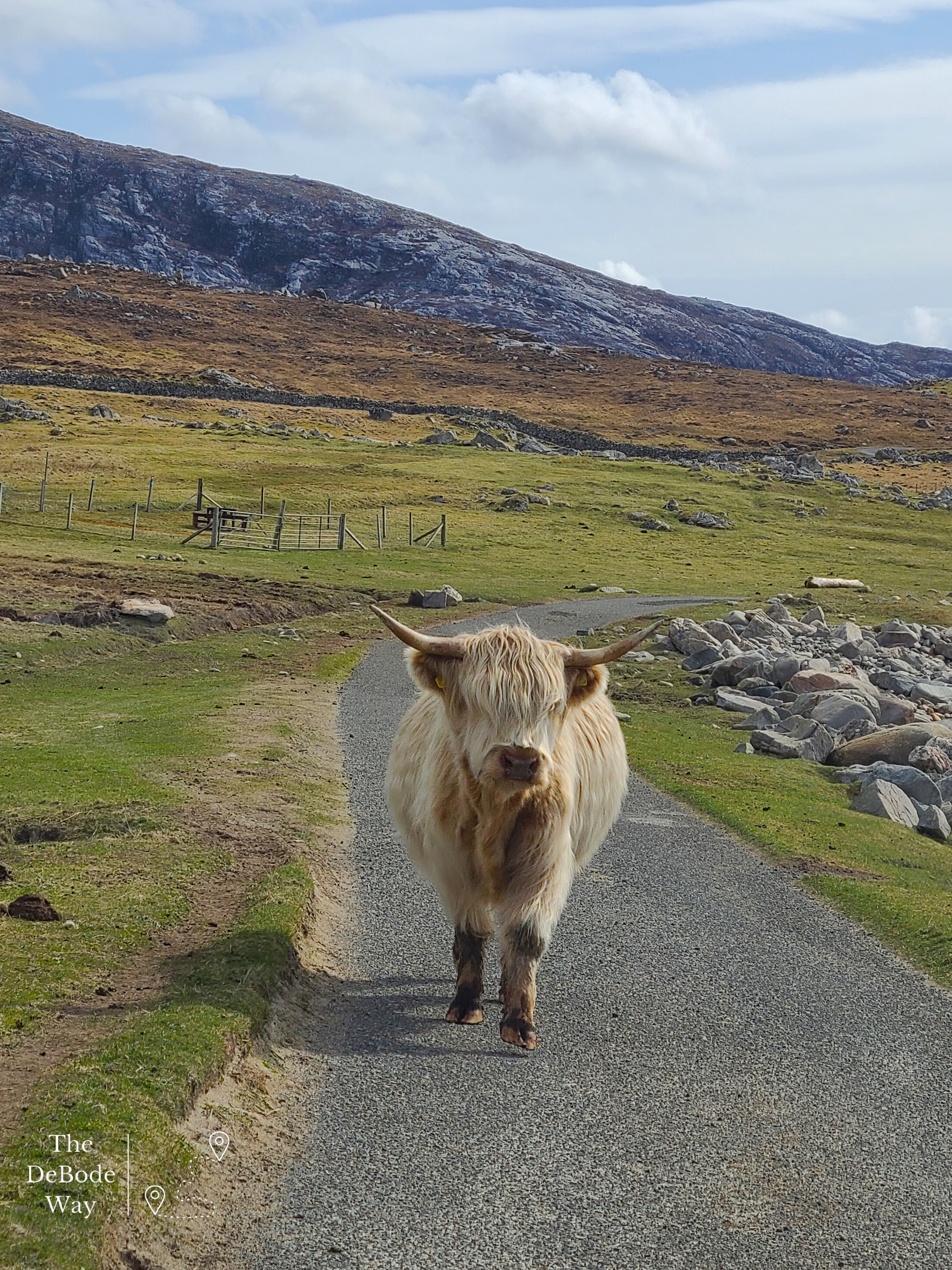
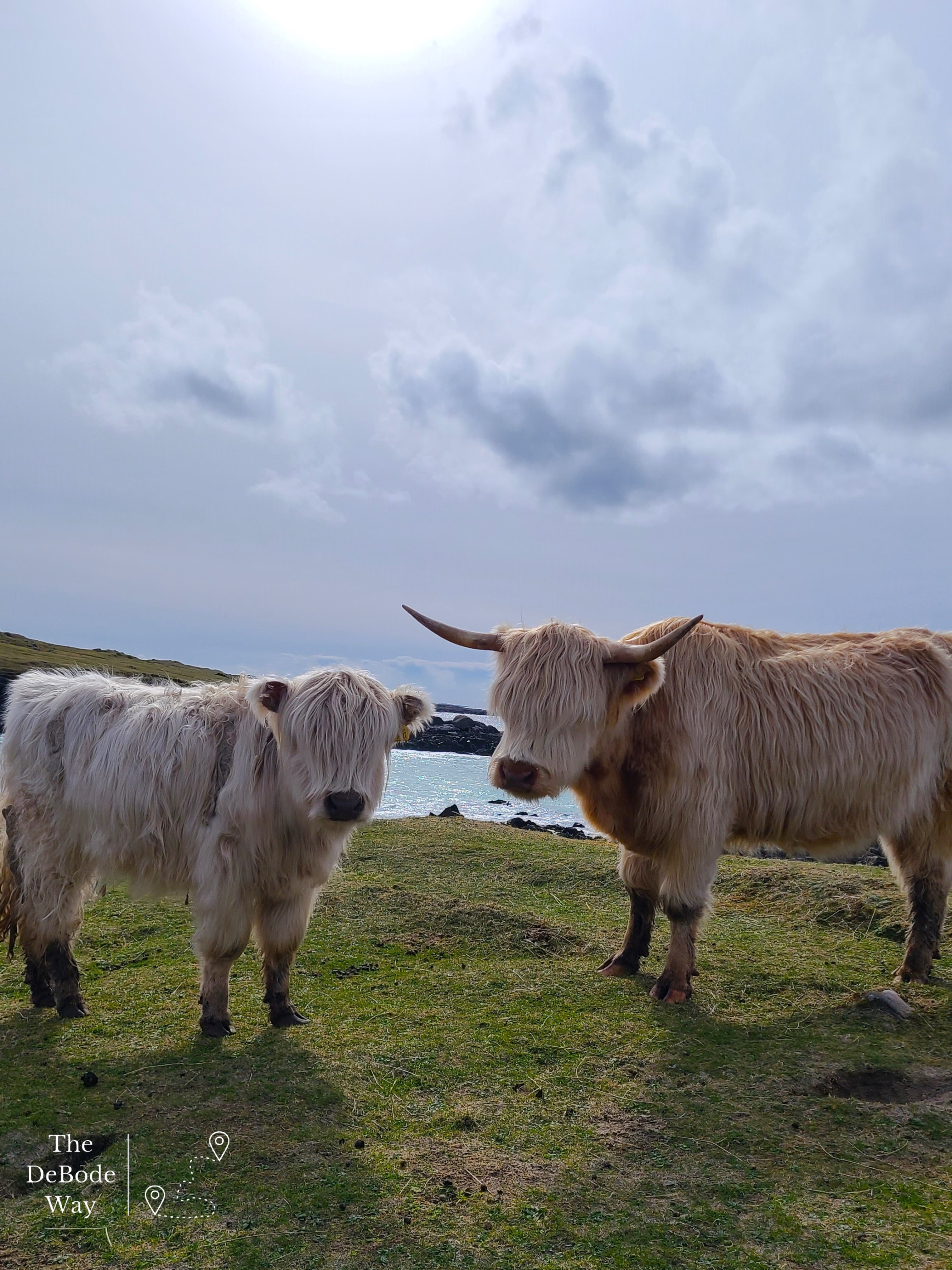
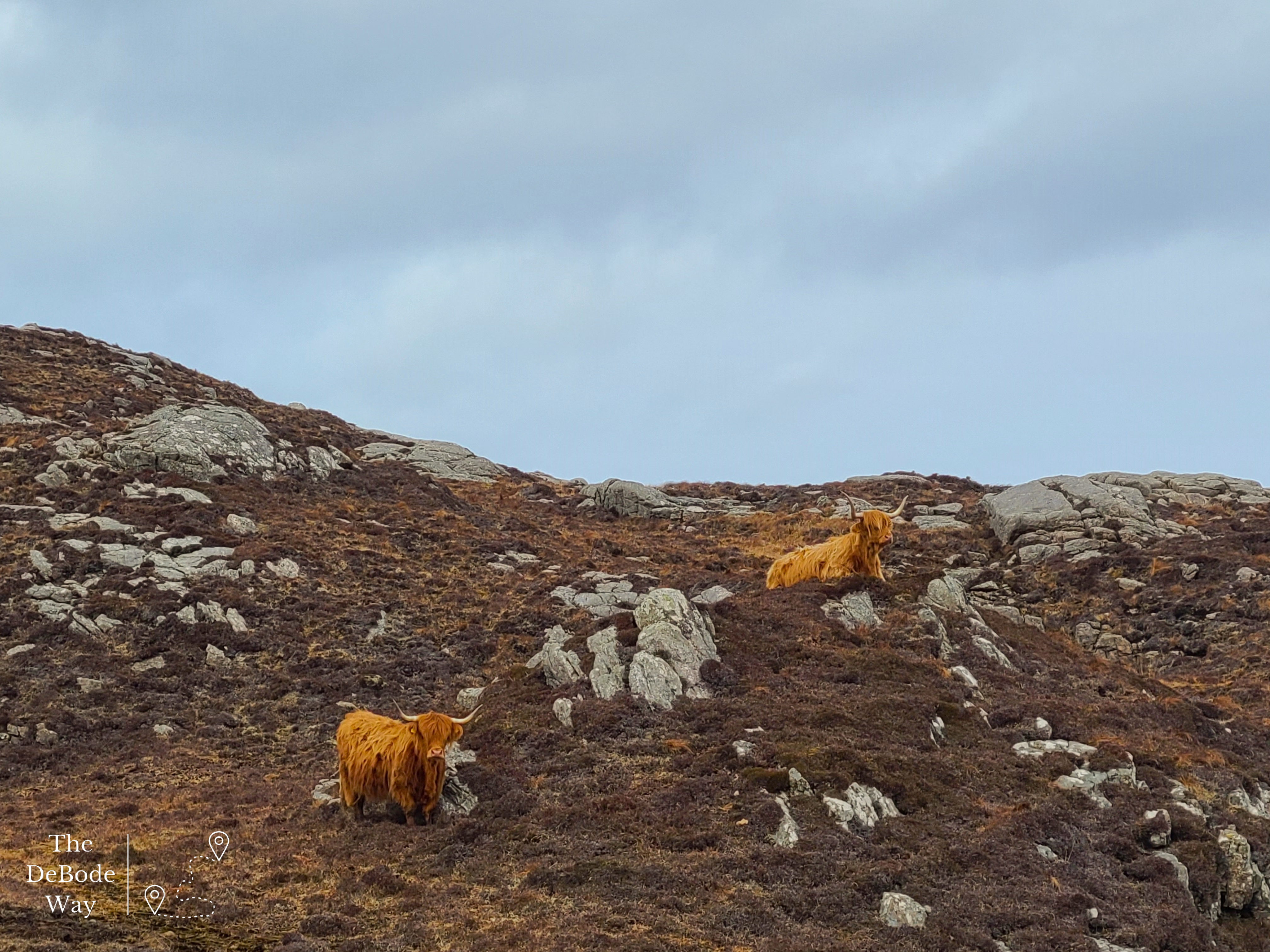
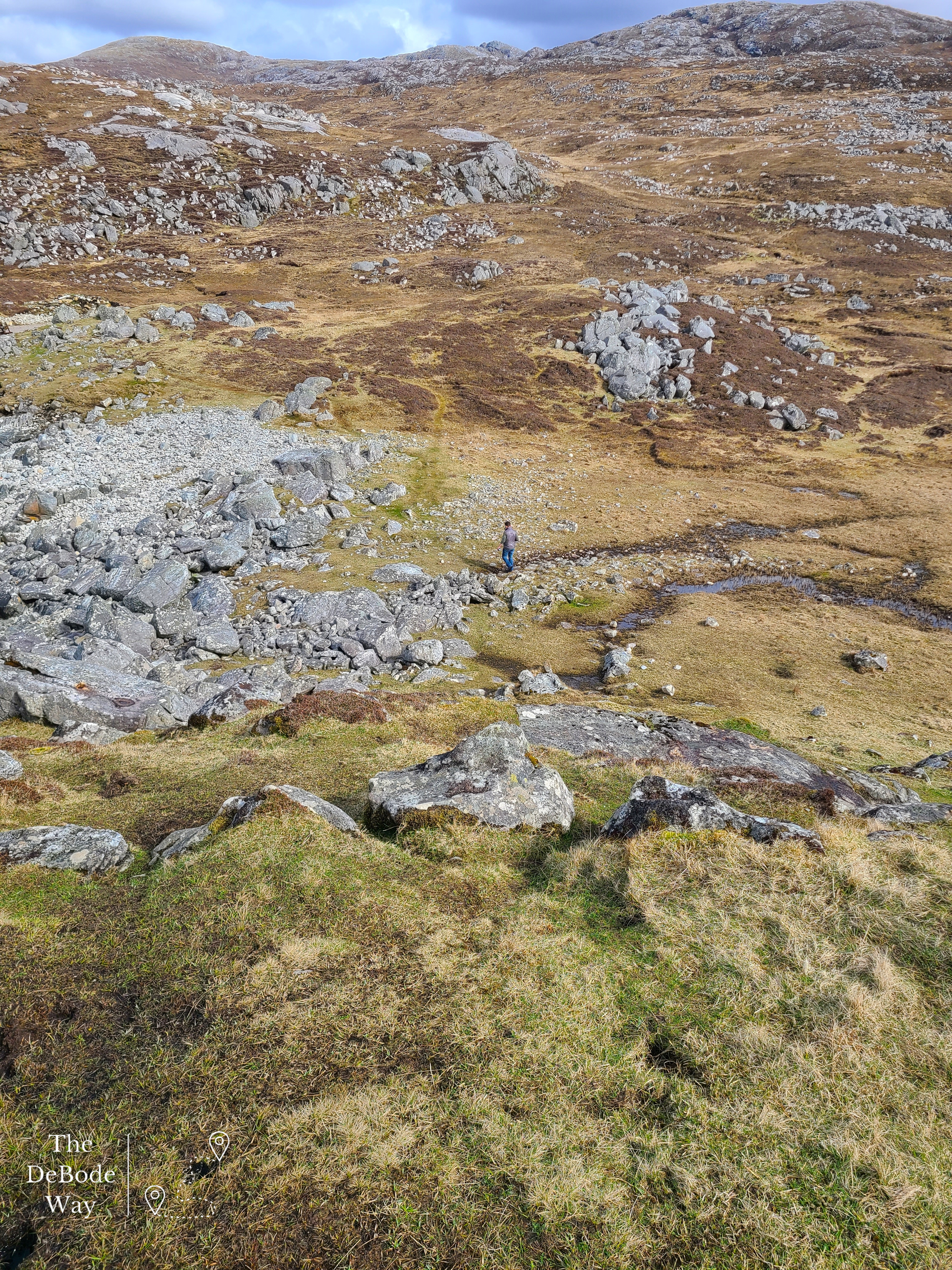
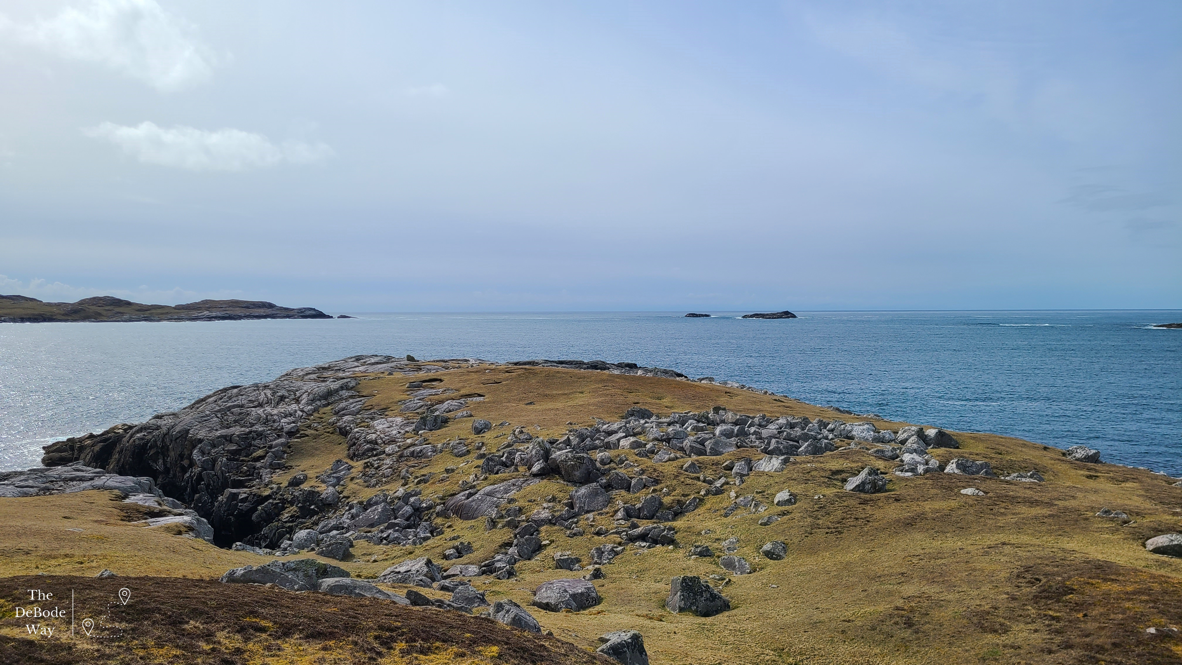
We finished the drive of the loop road (complete with highland coo sighting) and headed right, back onto the B8011 going South. Sarah told us you could drive to the “edge of the world” on this road. Challenge accepted. We scooted along through a couple of small villages (with for sale signs, which I was later told were probably inaccurate because places sell so fast out there), tons of sheep, a few cows and were rewarded with dramatic sea cliffs, huge mountains and yes, the end of the road. We got out and did quite a bit of hiking and scrambling up rocks for views. It was just magical. Jason sent the drone up again and I wandered off to take photos off the edge of the cliff. I just love the round sea rocks and clear blue water at the bottom!
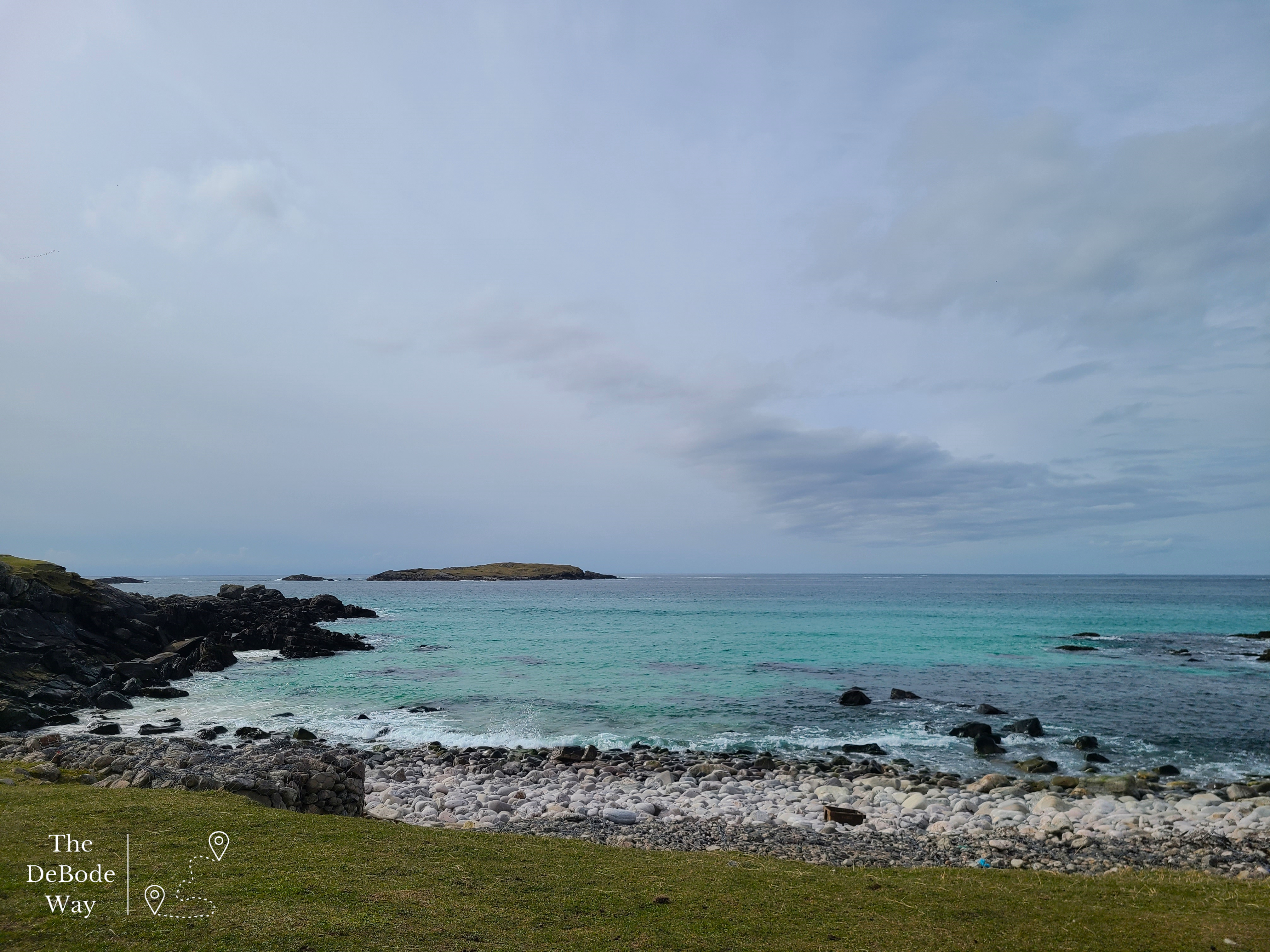
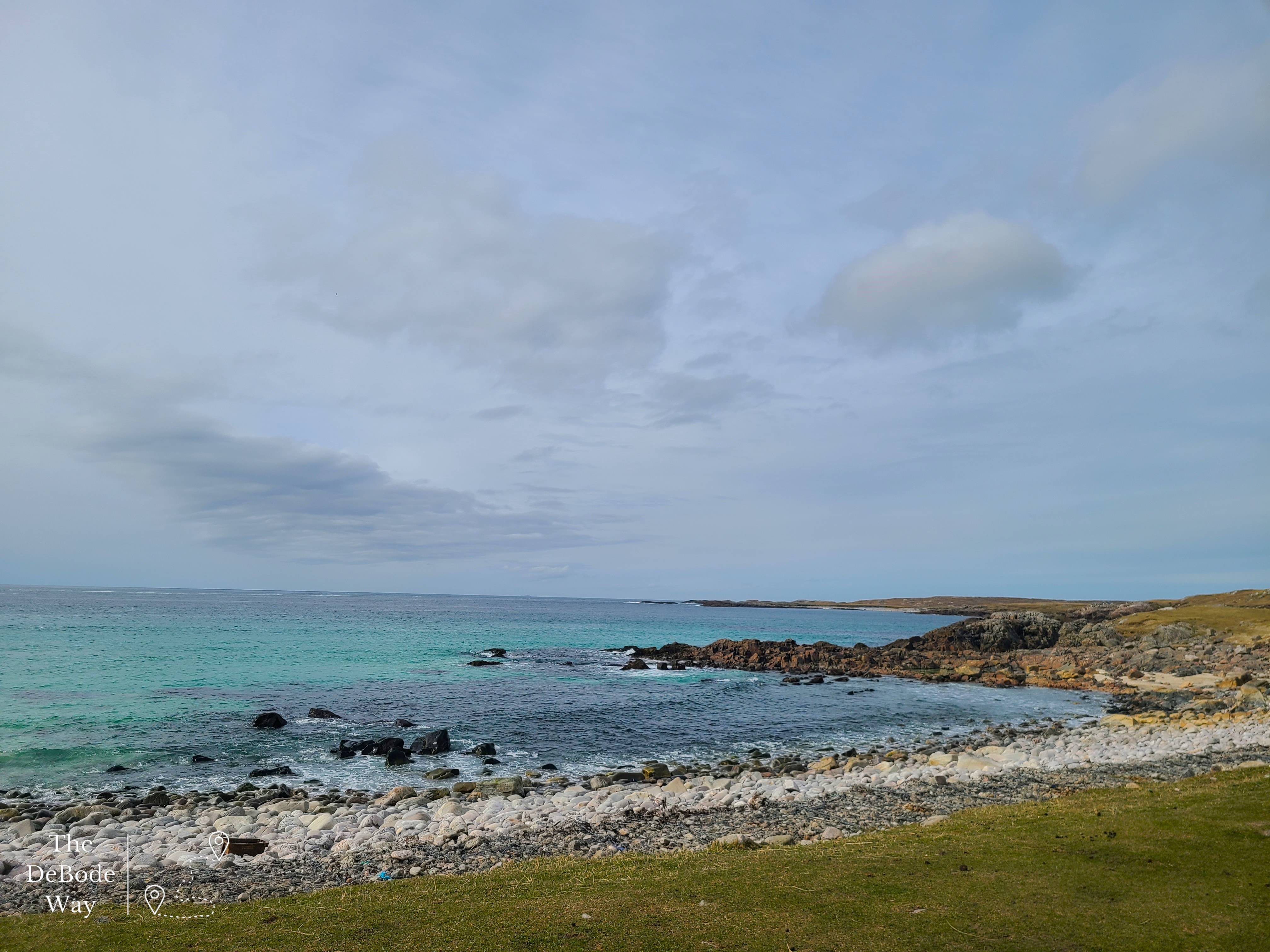
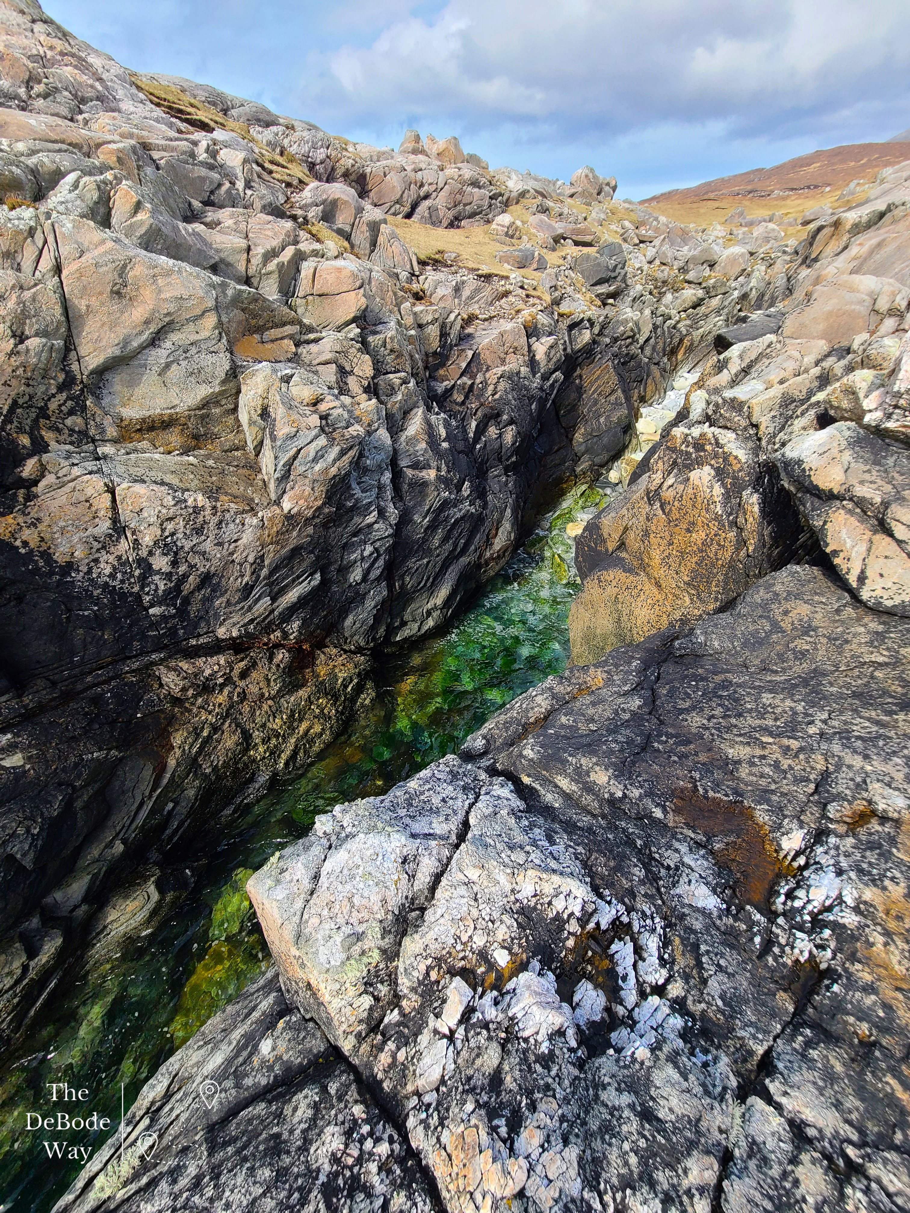
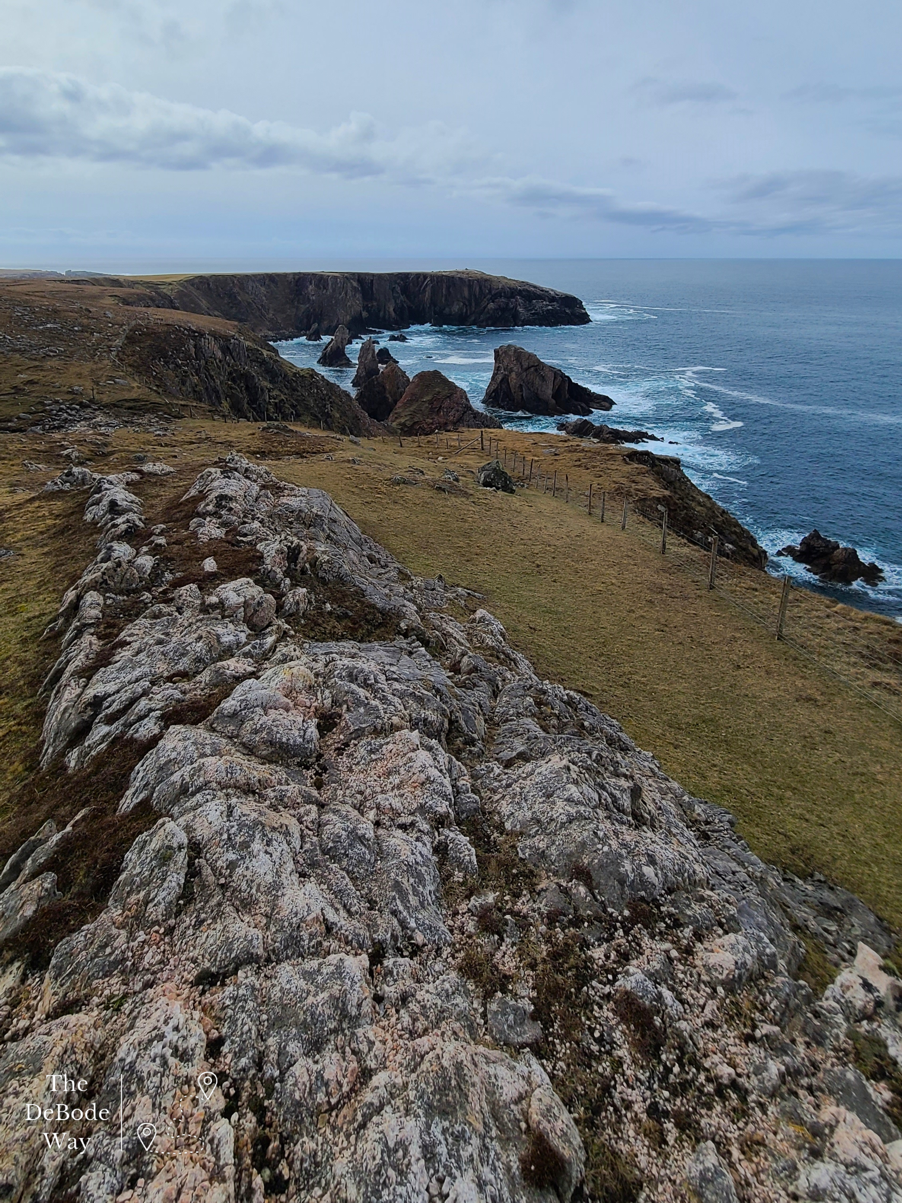
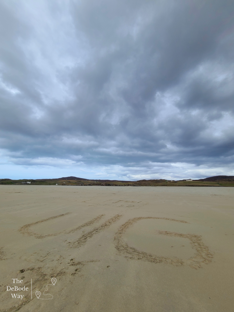
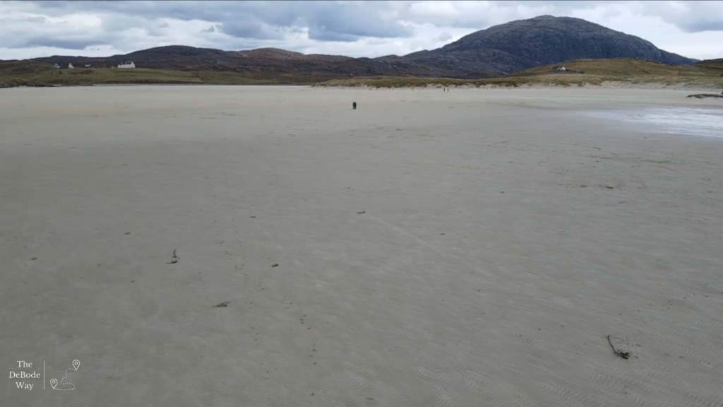
On the way back from the edge of the world, we stopped at what we had marked as a strange area we didn’t understand from the top of the hill at the coms tower. Turns out, it was a giant flat beach! At low tide, Uig Sands is one of the largest beaches in Scotland. The completely flat, sandy landscape is something straight out of the Caribbean, again! We walked from one end to the other, flew the drone and decided we better scramble back up the steep dunes and head for the pod before they gave away our dinner reservation time.
Gallan Head & Navy Base & Cliff Walk
After our trip to the edge of the world we headed back to the pod for dinner and called it a day but there were still adventures to be had the following day. We decided to give the car a break and spent the day wandering Aird Uig and Gallan Head. Aird Uig is a unique, small village that popped up in 1825 when its first settlers were evicted from nearby Carnish. The croft land was remote and particularly difficult to work, and they hoped they would be left alone. Along comes the Royal Air Force in 1954 to set up a RADAR site just at the top of the village at Gallan Head to keep an eye on those pesky Russian submarines during the Cold War. They and NATO operated here until 2010. The abandoned military base site has become a combination of deserted buildings and concrete footings, some of which have been transformed into homes. Sarah told us the council is trying to decide what to do with the larger deserted buildings. There have been talks of things from a hotel (which no one seems particularly excited about) to a gallery and whale watching/listening area. As was the case when Aird Uig was created, they just want to go about their lives in peace in their remote location.
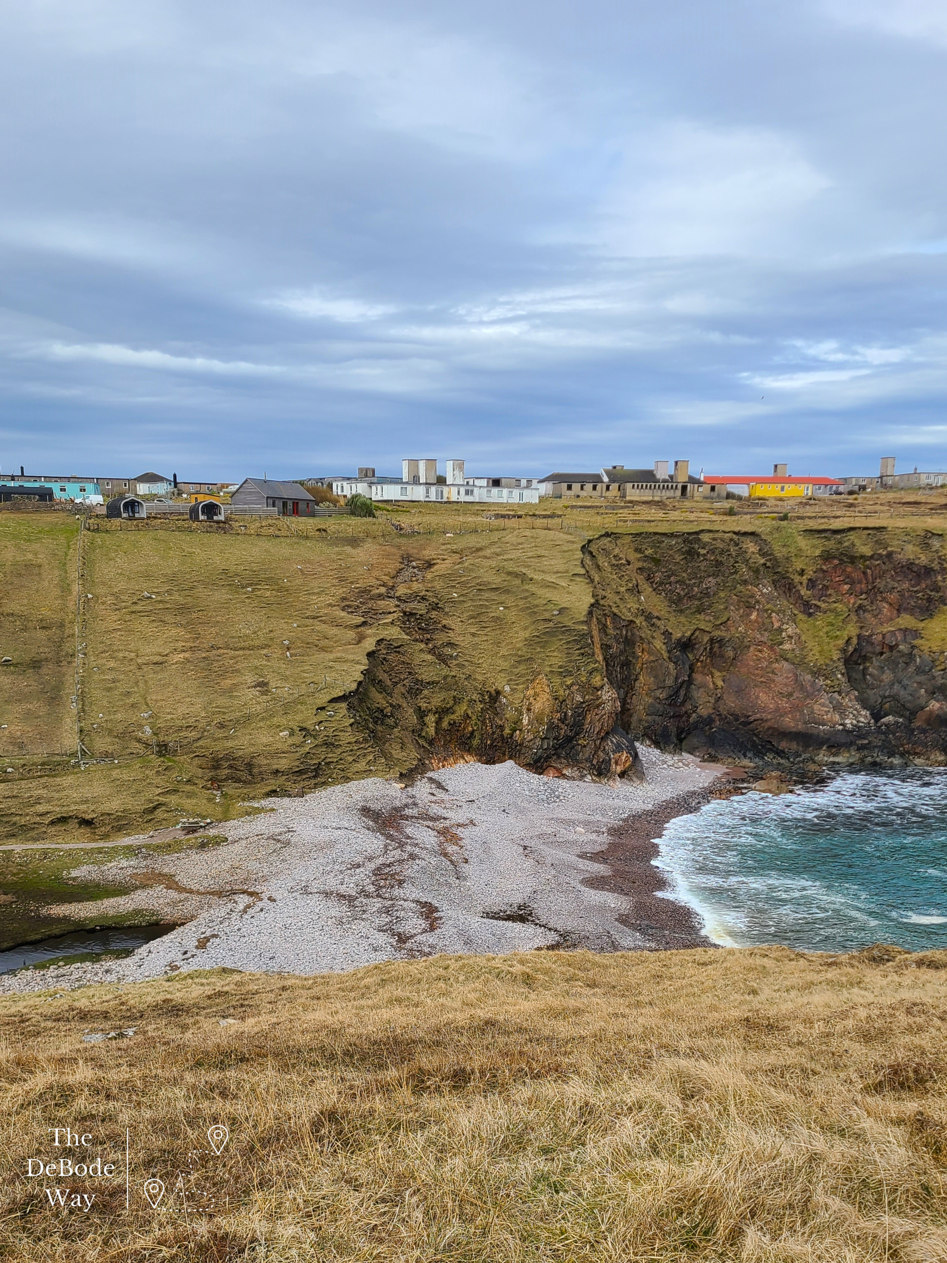
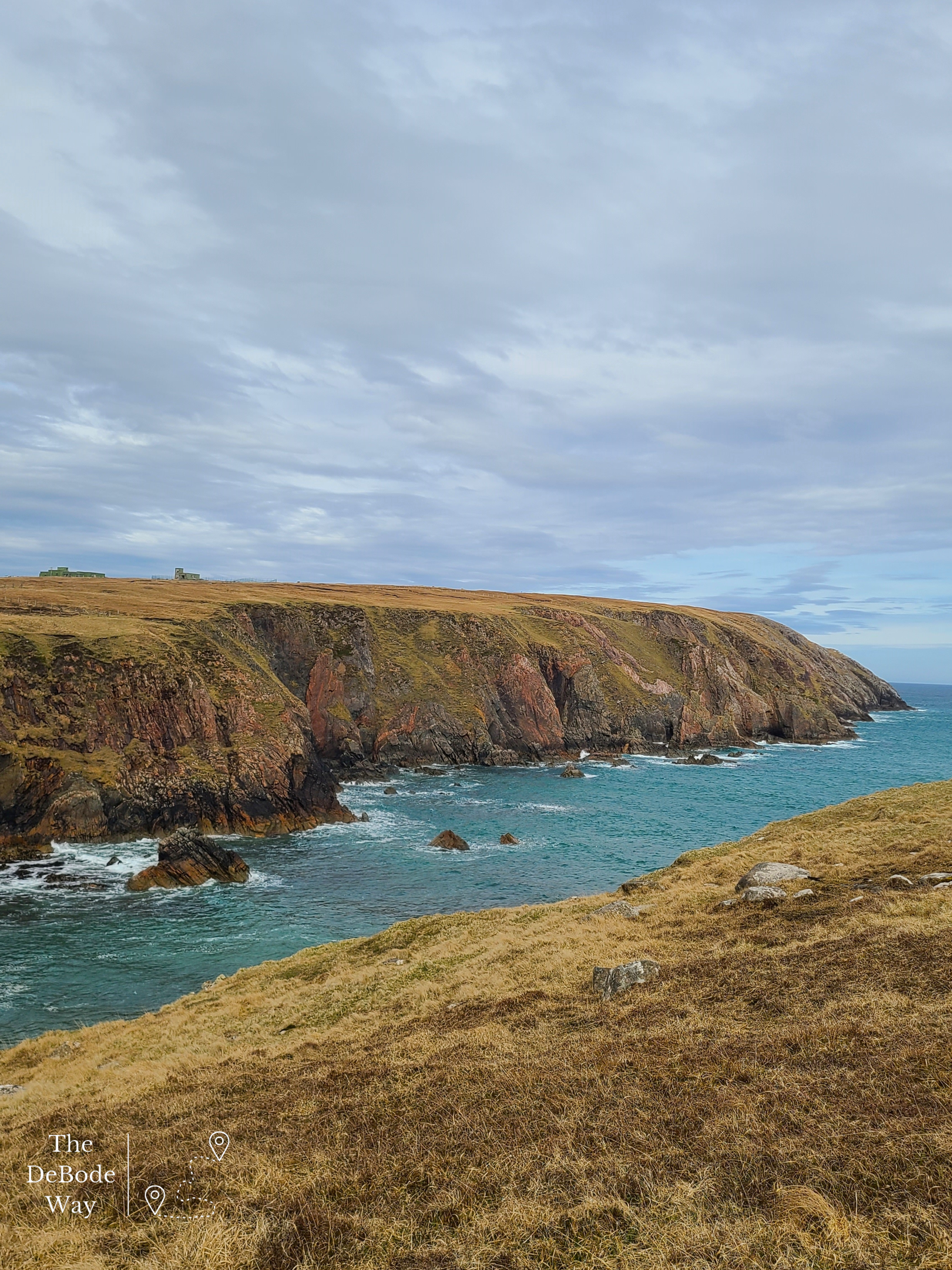
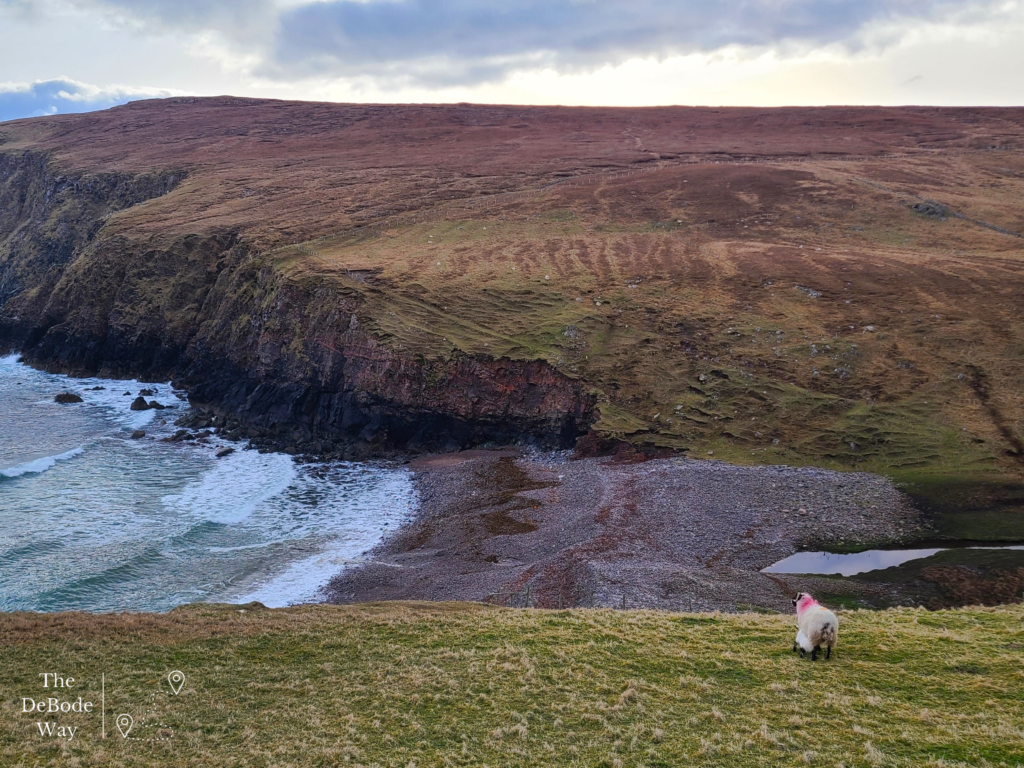
After breakfast we walked down the cliff to the rocky beach. When I say rocky beach I mean there were meters and meters of sea rounded rocks that have been pushed in by the waves and piled so high the water does not flow into the valley. We scrambled across the rocks and seaweed and decided to fly the drone up the cliff for a shot of our pod from the bottom and along the valley – the sheep didn’t seem to mind. Then we packed the drone up and hiked up the other side of the cliff. It was nearly vertical in places and quite the wet, slippery scramble. We had thought about climbing to the top of the ridge, but we encountered a fence and didn’t want to go over it too bad, so back down we went. This time, instead of taking the nice path that lead diagonally up the cliff back to the B&B we decided to go straight up the cliff to our pod. Talk about some huffing and puffing! I think we made it about 10 feet at a time before we had to stop to breathe, it was intense. And then, the gate was locked at the top so we had to climb over, dang near just fell over the thing at that point. Quick breather at our pod and then we headed up to Gallan Head.
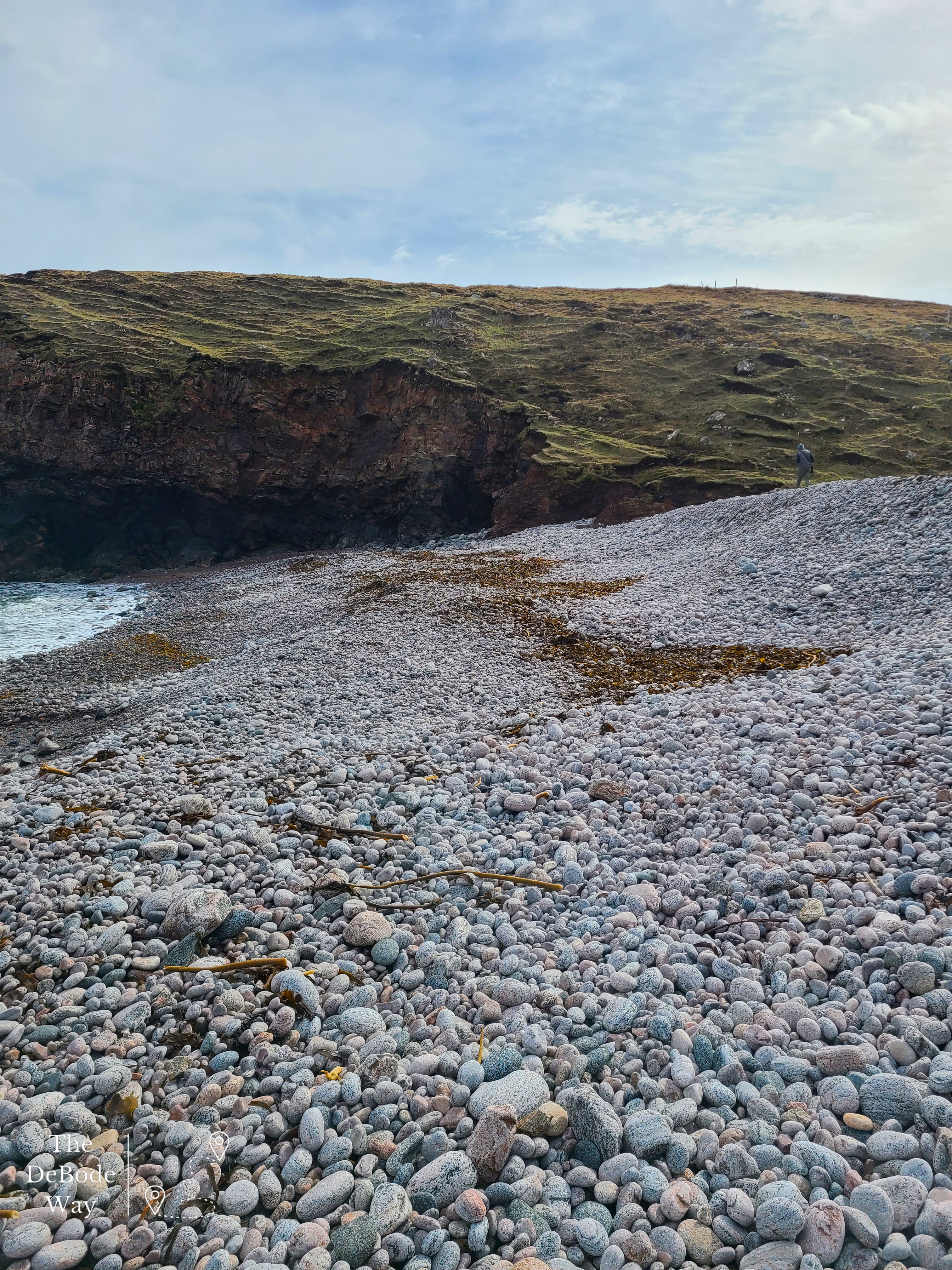
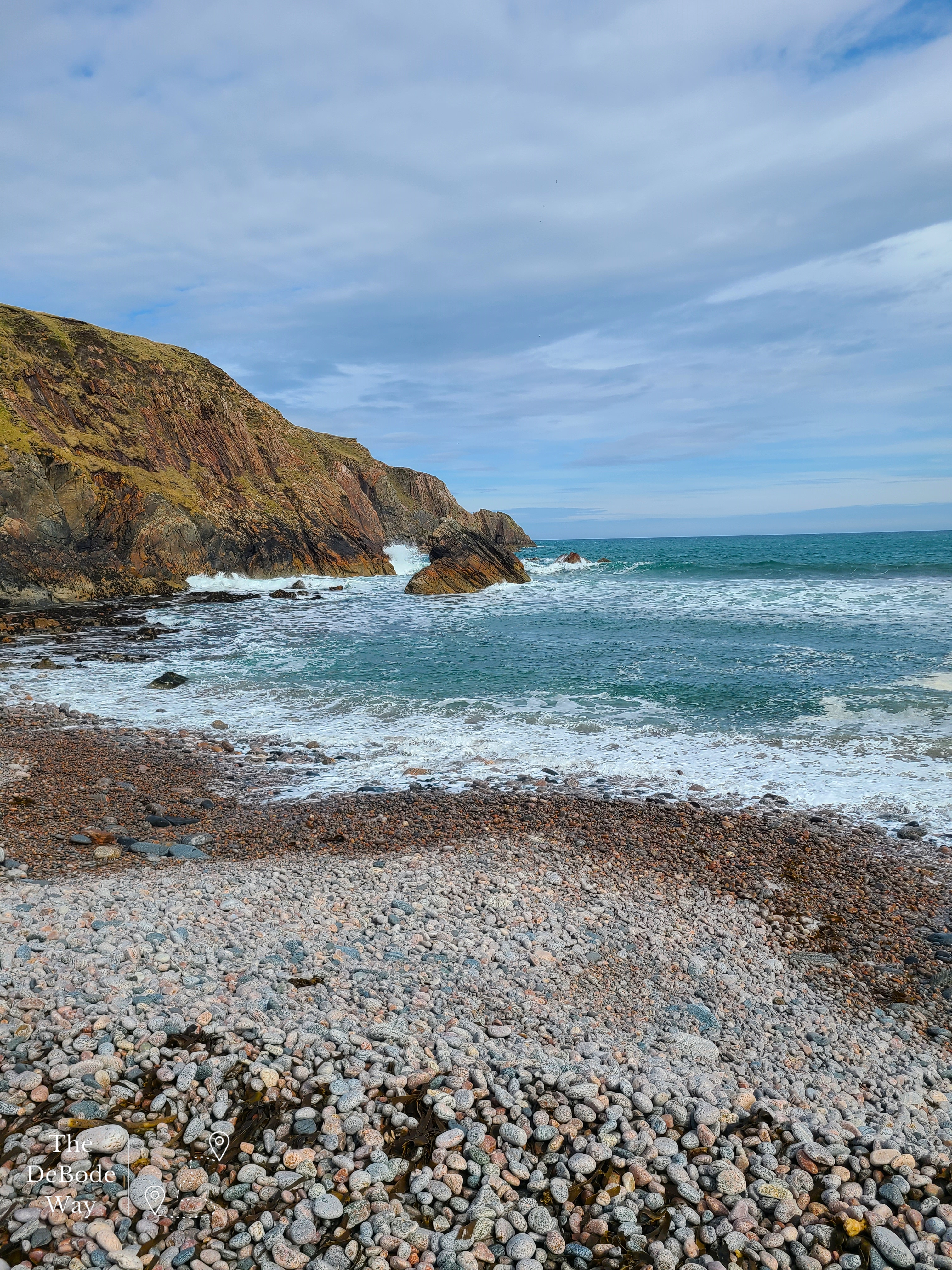
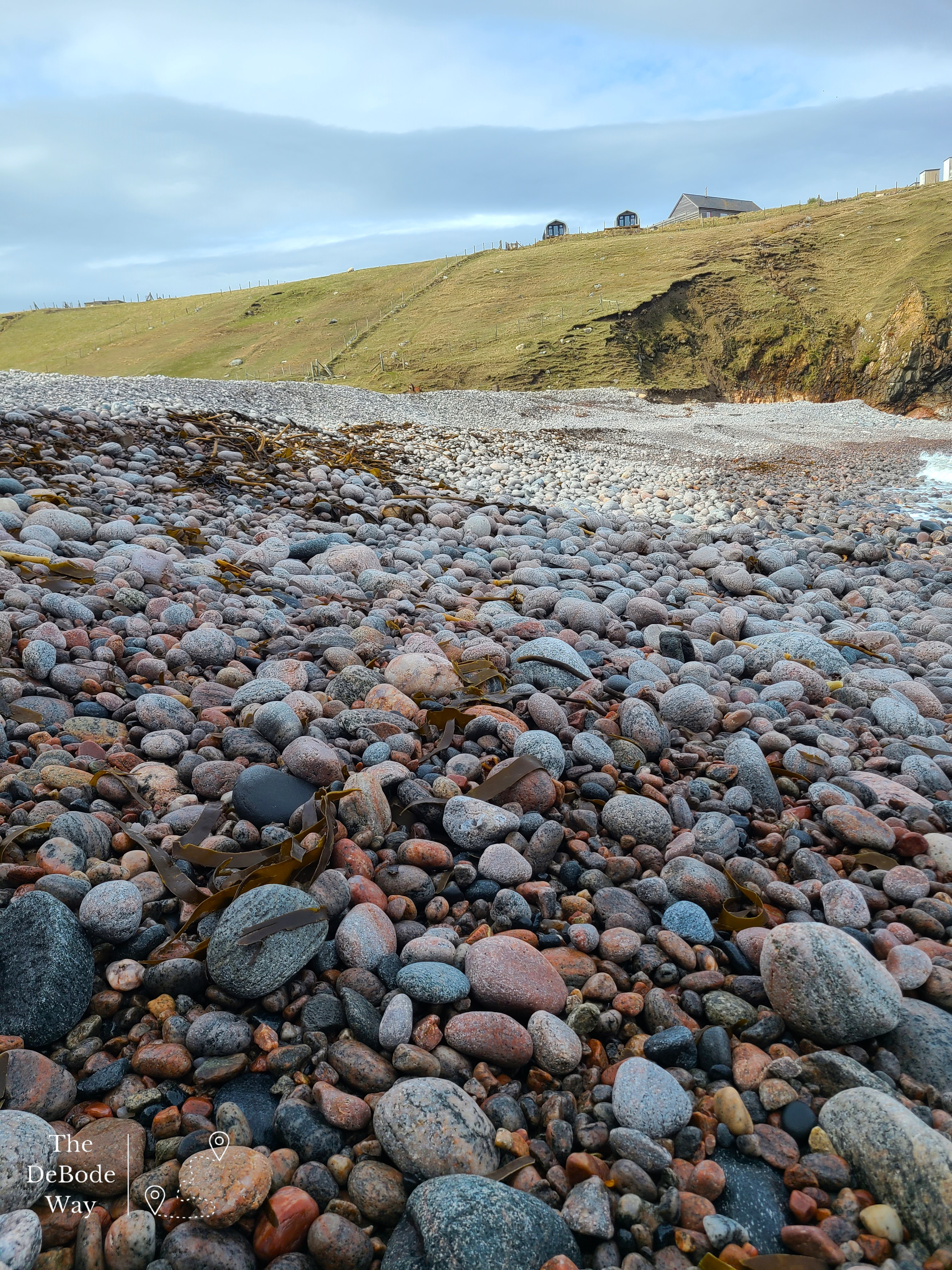
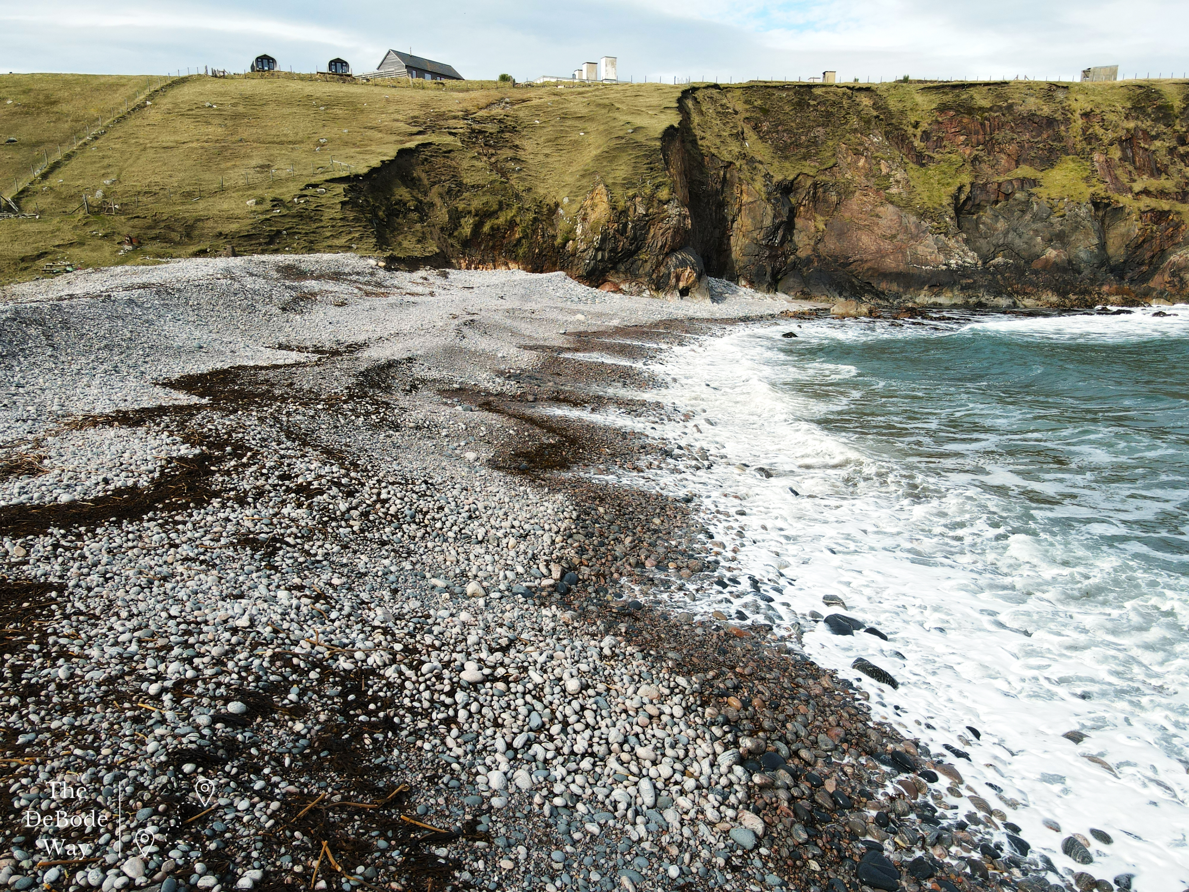
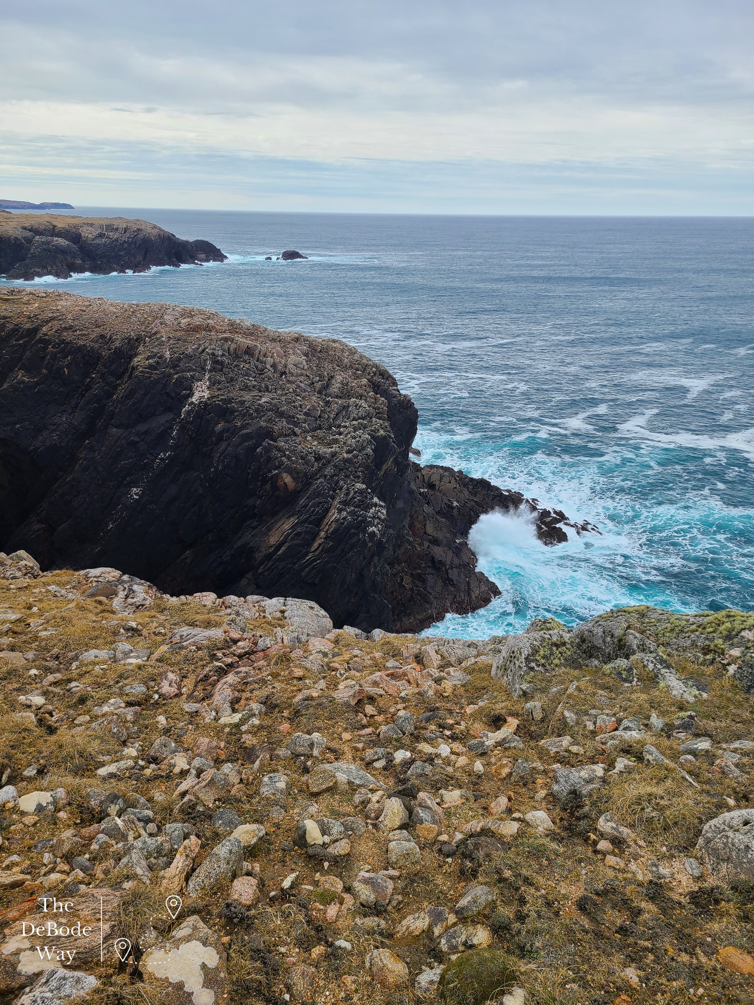
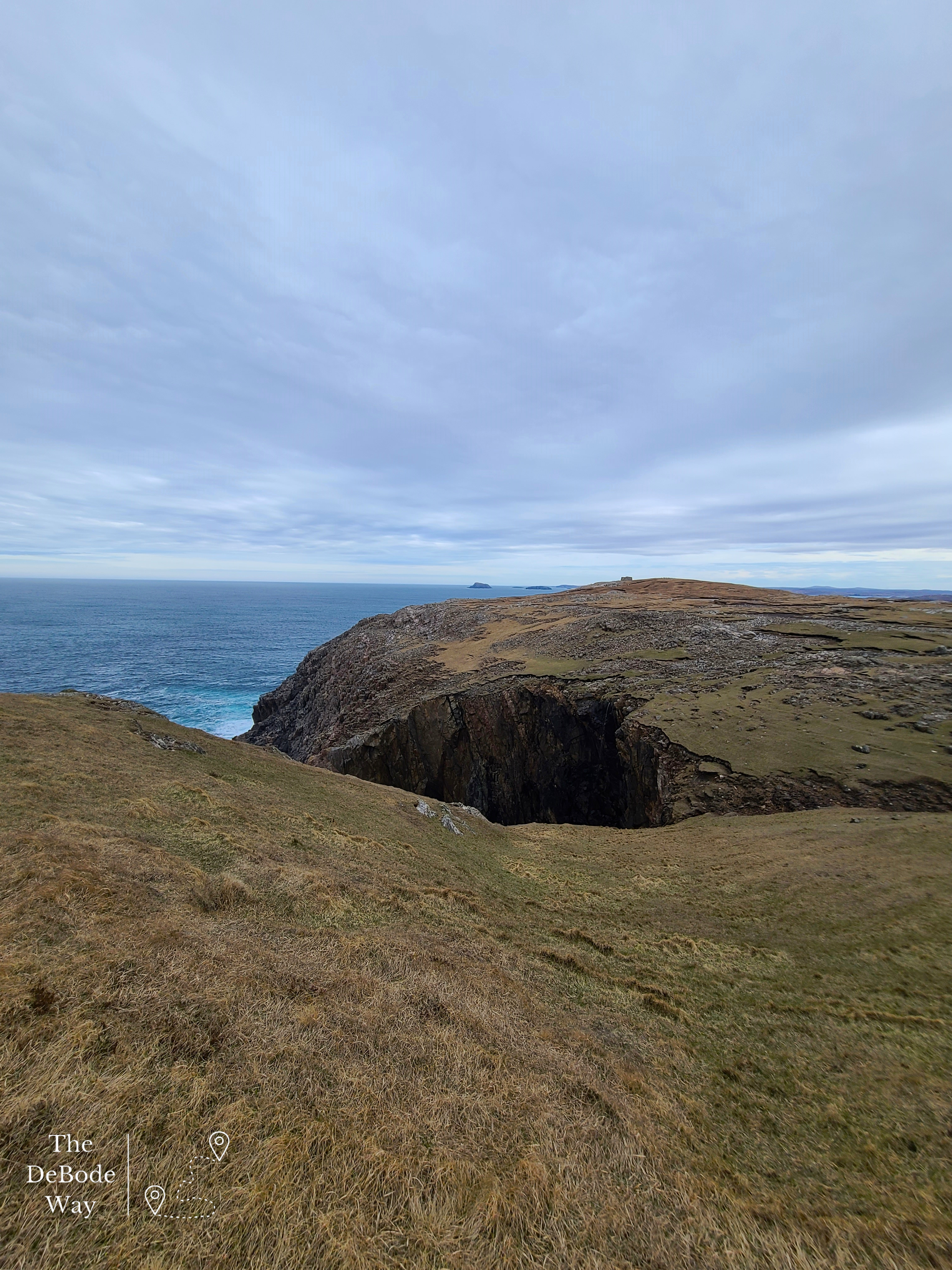
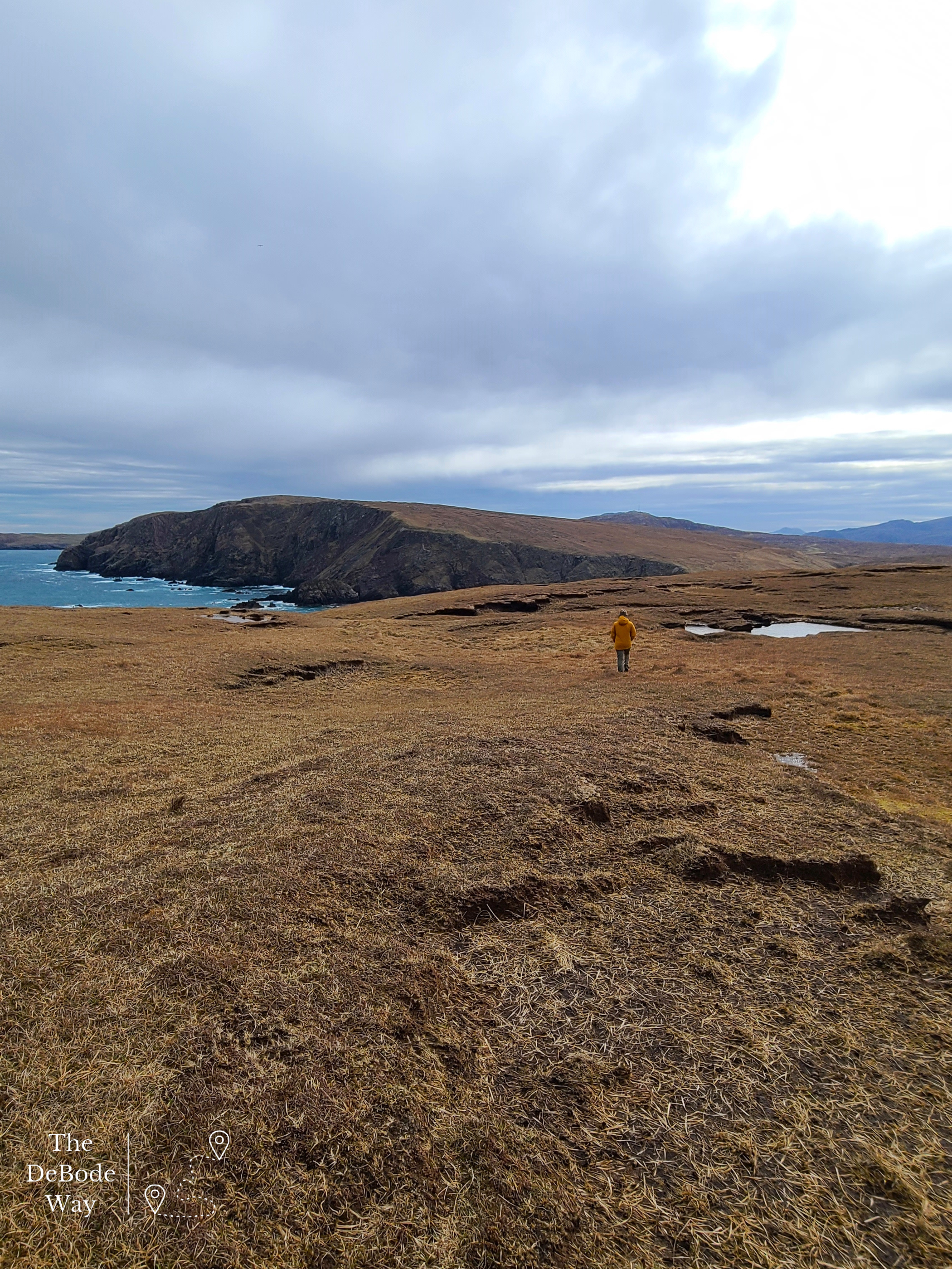
The top of the cliff where our pod was located is the old Navy and NATO base. We took a trek up to the top to see what there was to see and wow, there was something to see! We spent hours walking all over the soggy cliff in the whipping wind. I made Jason a bit nervous walking out to cliff edges to admire the blue water crashing on the rocks below, but I promise I still had plenty of distance to the edge, he just couldn’t see it from his location. We even found a geo-cashing box. After we had thoroughly wind burned ourselves it was time to head down for our last fresh from the sea dinner – Halibut for me, Langoustines for Jason.
Harris Tweed Exhibit
Much to our dismay, we packed up and left our pod and amazing view after three days and headed for the ferry in Leverburgh at the tip of Harris. On the way we stopped at Callanish again for our tromp through the bog and then drove on through the rocky moonscape of Harris. We made two quick stops. The first was a completely unplanned sighting for a Harris Tweed Exhibit, so off we went down a single-track road. Why not? Two and a half miles and 10 minutes later we arrived at a building with no obvious signage and no one milling about, so we snuck around the side looking for some indication we were in the right place and finally spotted a wee sign next to a door. Store closed but exhibit open. Good enough, in we went. It was actually a really good exhibit highlighting not only how the tweed is made but some designers who have used it over the years. Included were some examples of their products on display. There was everything from tweed ballgowns to hunting gear, three-piece suits, handbags, and shoes. Some people are just so creative. We left a donation for the box and out the door and back down to the main road again.
Luskentyre Beach
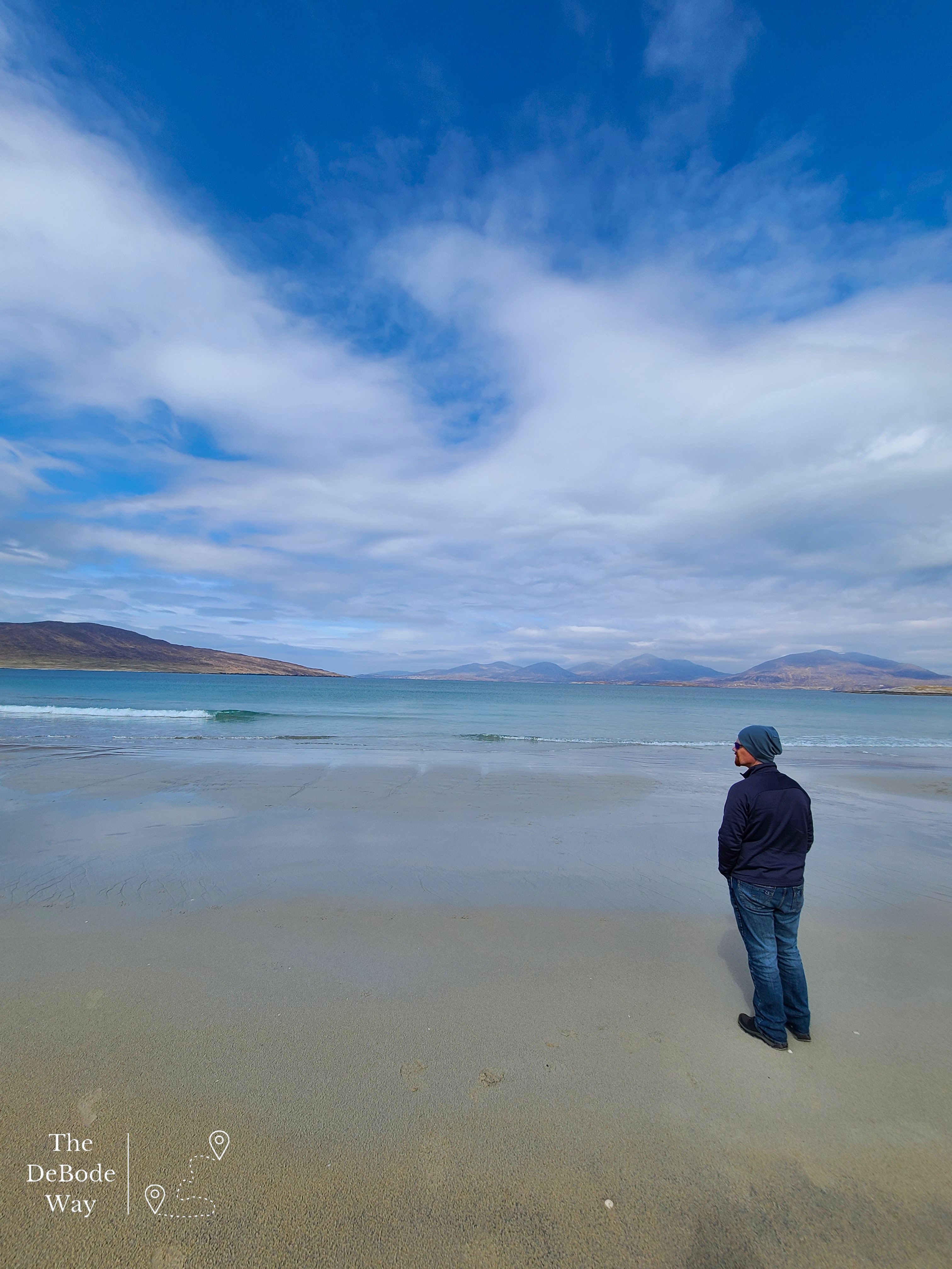
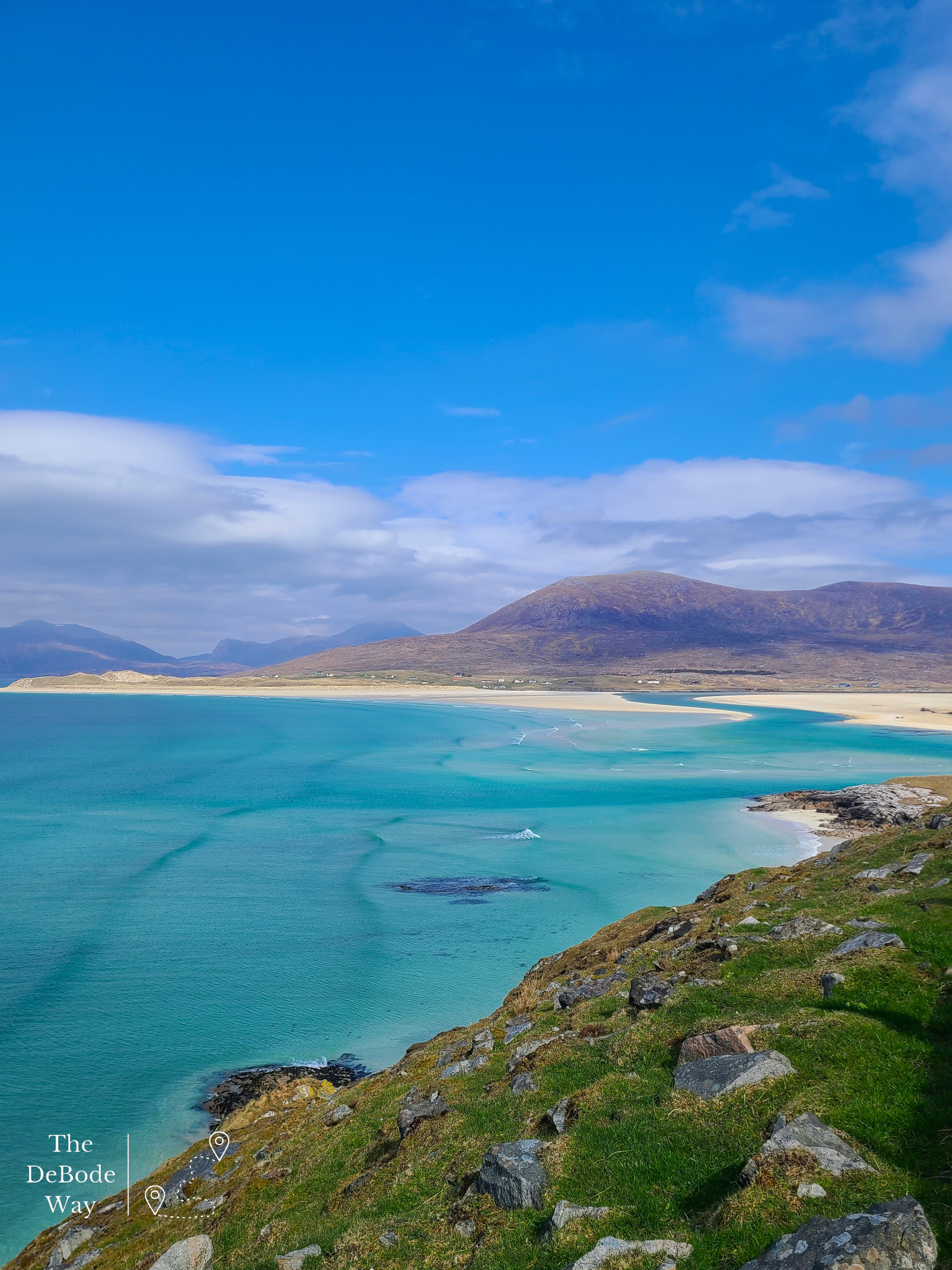
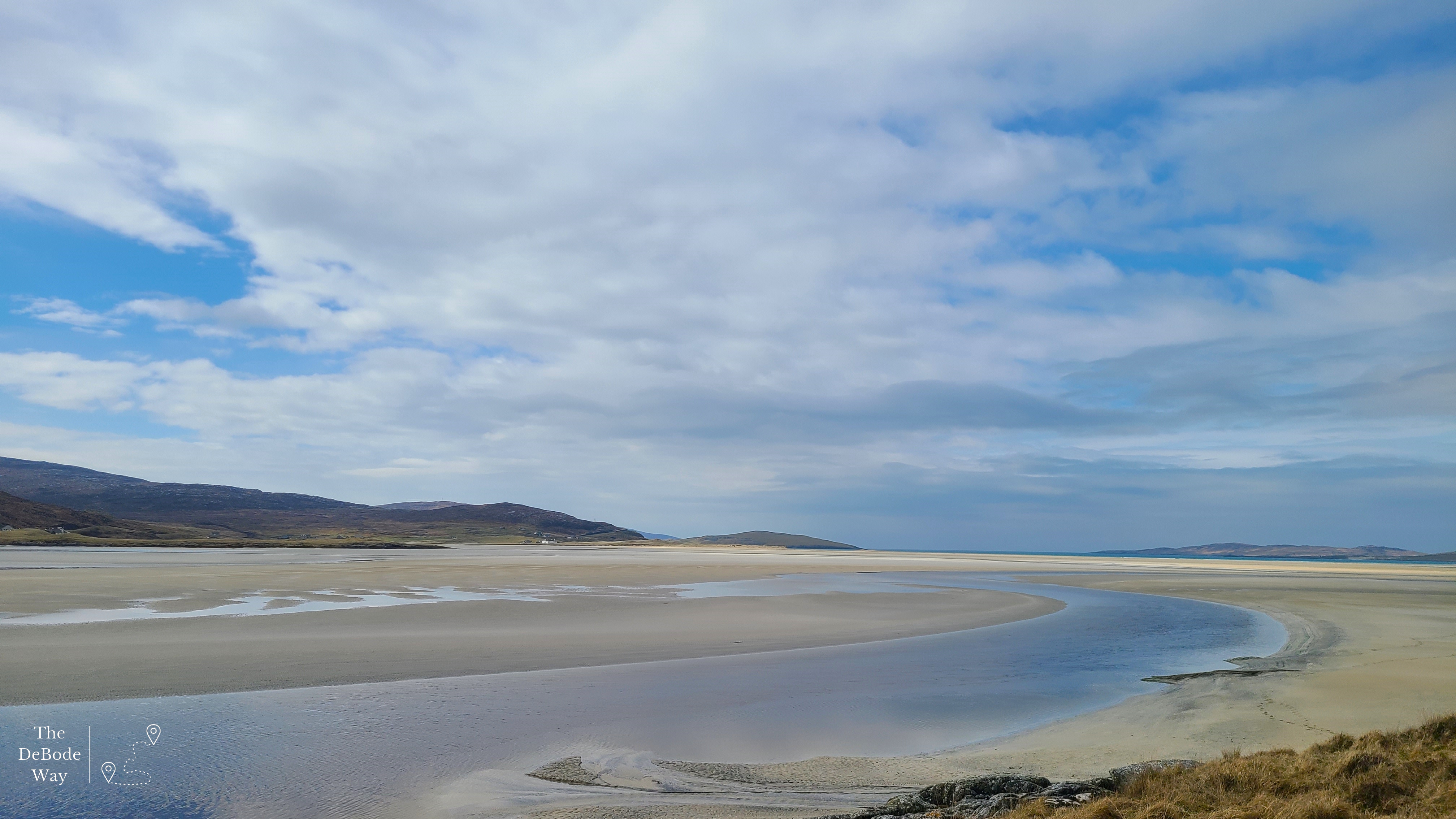
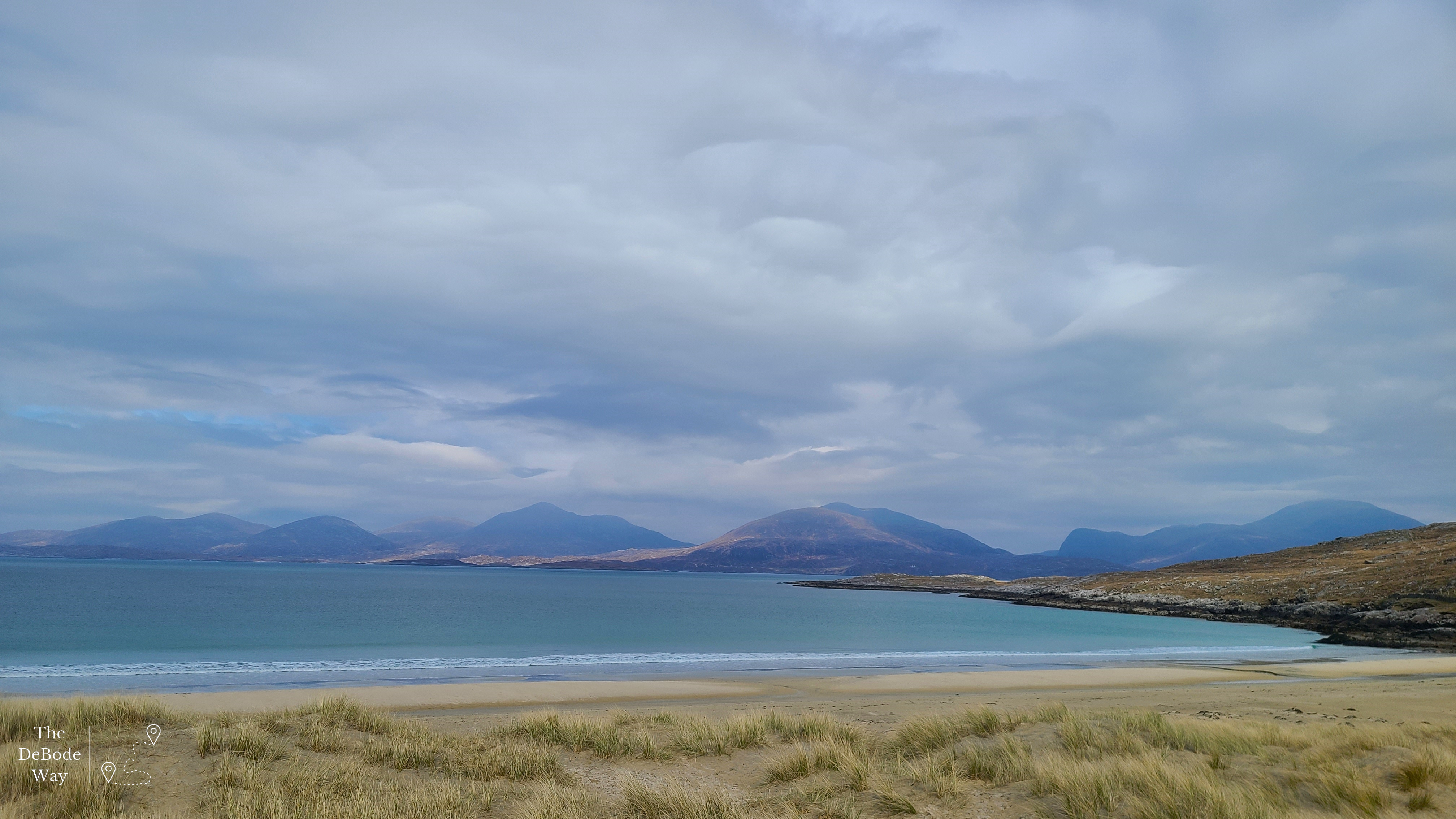
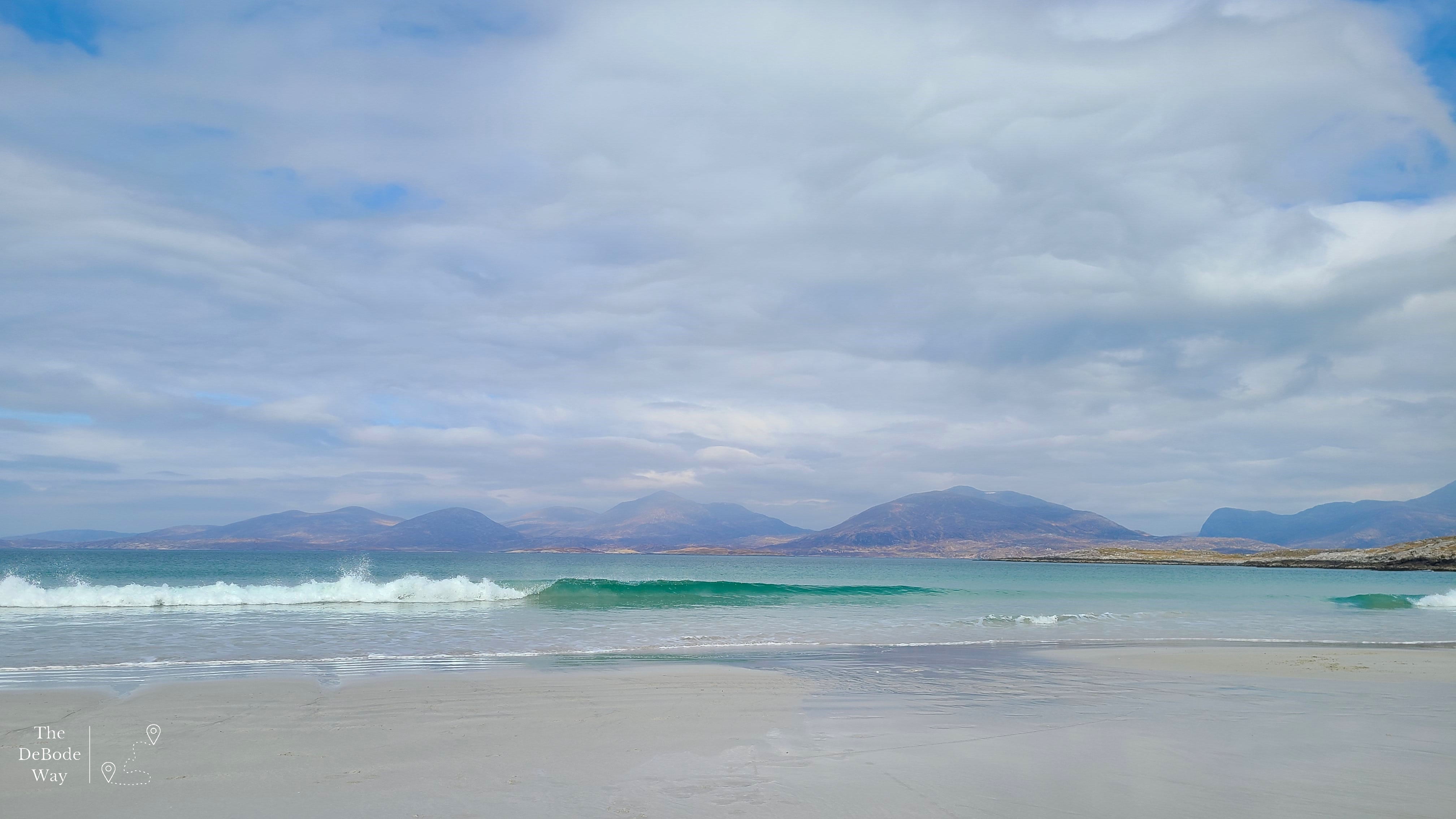
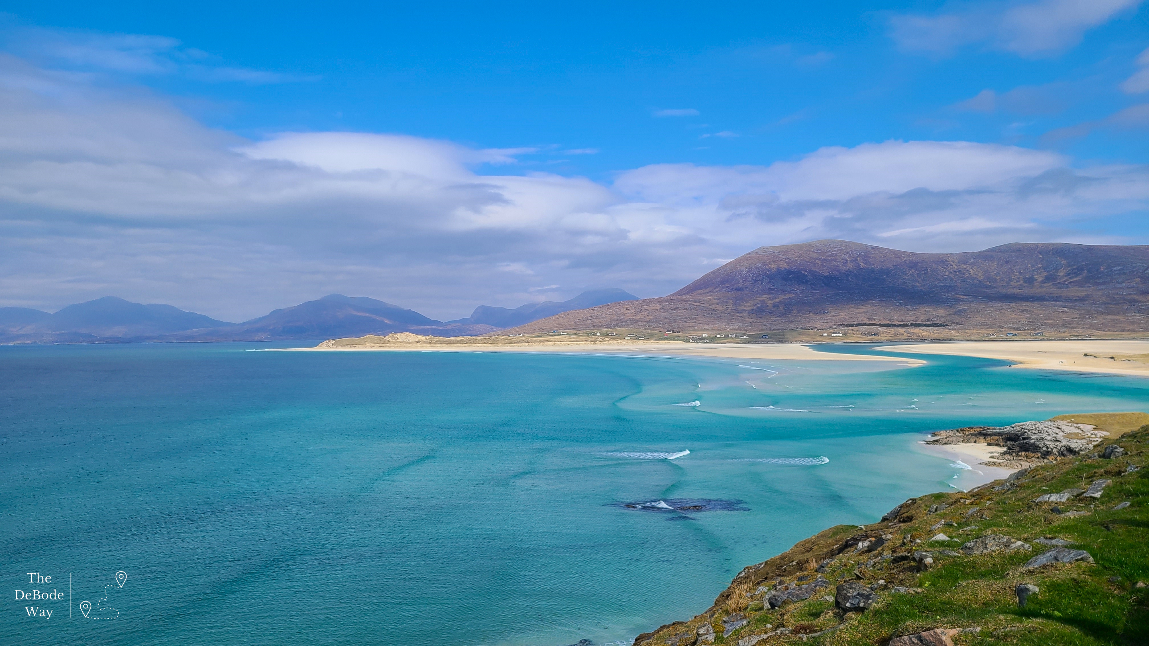
Our last stop on our journey to the ferry was at Luskentyre Beach. We have been hearing about this beach since before we were even on the island, so we decided to stop. Down another long single-track road we went, behind the dunes that hid the beach from us most of the way. We finally pulled into a car park at a cemetery (I imagine the beach dunes are the only place something can be buried in that rocky landscape) and headed down to the beach. Alright fine, it was gorgeous. This beach was even bigger than the one we saw from our perch on the coms tower hill. It stretched on, flat and sandy, probably for miles before it sunk into the crystal blue waters, surrounded by rocky mountains climbing out of the sea. There were many walkers and happy dogs running along the beach, but we didn’t stay long, we had a ferry to catch. I imagine this beach is quite the slice of heaven during a long, cold, windy winter on a northern island. We admired the waves for a bit and then were on our way again.
Ferry to Uig – Leverburgh to Berneray
And finally, on to our much smaller ferry for the trip to North Uist. We had anticipated there being a café to grab a bite, like on the last ferry, but no. We sat our grumbling tummies in seats and watched Uist grow closer in front of us while the ferry scraped along the shallow sea bed and dodged dozens of little islands while trying to follow the channel buoys. I can’t imagine that happening for long before the ship needs repairs. Yikes. Once safely in Berneray on North Uist, we set off again to find our next destination: Langass Lodge. See ya there!

2 Comments
Thank you!
Thank you!
Comments are closed.